 AppGoblin
PlanMyRoute: Run Route Planner
3.66★
Ratings: 979
Screenshots
App Description
Plan routes for running, hiking or cycling! Track Routes & Footpath in the map!
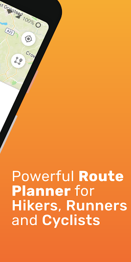
PlanMyRoute is a route planner that helps you create routes anywhere in the world. Using the app you can plan a route before you go running, road cycling, mountain biking or explore trails on hike.
Plan your Customized Route
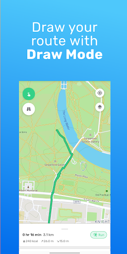
Wherever you want to explore an area, plan hikes, or simply walk around, it’s very easy to plan routes in the map and visually follow the path. From the main route planner screen, you can simply type in the location you want to go or even more conveniently use your fingers to draw a route across the map. Once the route is drawn in the map, it will show you useful information such as the distance in Km or Miles. Finally, save the map routes in your profile and you will be able to do the same route any day, ideal for running routines.
A-B Mode
Loved by many of the users, the route planner has an A-B mode, which allows which lets you pick a start and end location (along with any waypoints across the path), and then select one of the suggested routes that are calculated automatically. This way you can always choose the route you prefer, and find the best way to cross the map.
Maps
Another great feature that was requested by users was the ability to choose between different types of maps. PlanMyRoute route planner comes with multiple maps to suite different activities, such as “normal” which shows the classic map style, “satellite” which shows the map from a satellite view, “cycling” which makes the map easier for cycling and “hiking” that as the name suggests, it is meant for hiking routes.
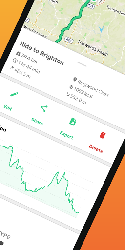
Choose your route based on the extra information
To help you have a better understanding of your upcoming adventure, the route planner provides extra information about your route.
Currently this includes:
• Road Surface: it shows if the road is paved or unpaved to better understand if its suitable for walking.
• Road Type: it shows what type of road is, such as street, path or major road if for example you want to avoid car traffic or want to ride the bike.
• Elevation profile across your route: This helpful info will help you know whether you need to prepare for hills or not.
• Elevation gain & elevation loss: How much elevation will this route or lose?
• Activity duration: simple but essential information about how long the activity is going to take.
Snap to road
When using the route planner in dr