Overland Bound One: Maps & GPS
Overland Bound One: Maps & GPS Summary
Overland Bound One: Maps & GPS is a with in-app purchases iOS app in Maps And Navigation by Overland Bound Inc. Released in Dec 2016 (9 years ago). It has 479 ratings with a 4.61★ (excellent) average. Based on AppGoblin estimates, it reaches roughly 1.8K monthly active users and generates around $<10K monthly revenue (100% IAP / 0% ads). Store metadata: updated Feb 12, 2026, version 2022100347.
Data tracking: SDKs and third-party integrations were last analyzed on Jan 24, 2026.
Store info: Last updated on App Store on Feb 12, 2026 (version 2022100347).
Overland Bound One: Maps & GPS was last scanned for SDKs 2026-01-24. Below is the overview of third party companies detected in the app. The full list of raw SDKs, app permissions and unknown SDKs is available here.
4.61★
Ratings: 479
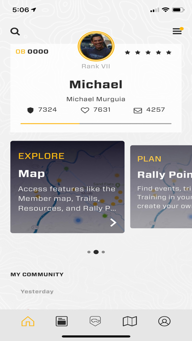
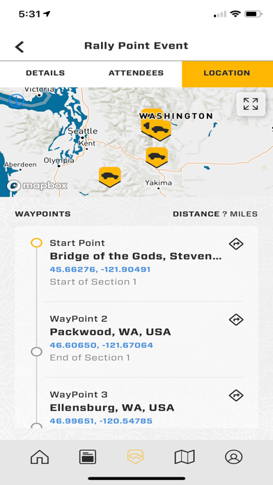
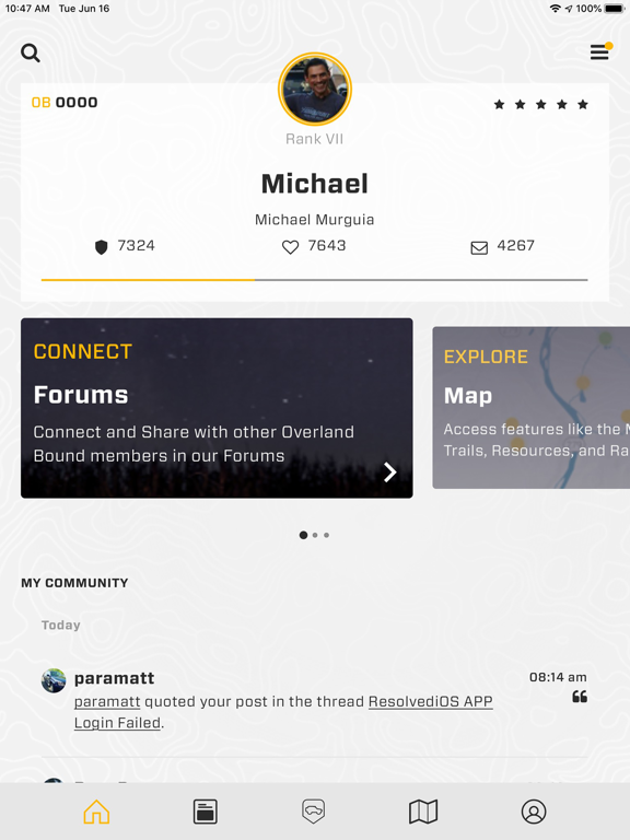
Screenshots


App Description
Overland Bound One is the essential offroad GPS app for overland and 4x4 adventure. Get access to offline mapping and GPS navigation, offroad maps, offgrid camping, community support, offroad trails, trip planning, events, and more. Connect. Plan. Go!
PLAN YOUR NEXT OVERLAND ADVENTURE WITH WORLD CLASS OFFROAD MAPS
Discover offroad trails, wild camping locations, fuel and water resupply points, mechanics, and message members in your area. Our interactive offroad maps include over 100,000 overland and 4x4 specific resources at your fingertips.
Find your next epic camp using offroad maps with camping locations including established campgrounds and wild camping on USFS and BLM land. Camping information is crowdsourced from local overland experts. Add your own camping information to create custom offroad maps or preview thousands of camping locations.
Easily toggle between viewing the map by 4x4 Trails, Resources, Members, or Rally Points so that you can find the information you need when you need it.
OFFROAD MAPS AND 4x4 TRAILS AT YOUR FINGERTIPS
Plan and navigate with detailed trail maps and offroad maps, including:
• Road Maps
• Satellite Maps
• US Topo Maps & Worldwide Topo
• National Forests
• BLM & BLM Routes
• USFS MVUM Roads & Trails
GET CONNECTED OR GO OFFGRID WITH AN OVERLAND BOUND MEMBERSHIP
For the truly adventurous, get offline maps, track recording and offgrid navigation.
Our Expedition mode allows you to:
• navigate offline
• record tracks offroad
• import and share GPX routes
• download offline maps
• 3 word GPS location lookup
• And more!
MEET UP, HIT THE TRAIL, AND GO CAMPING WITH OVERLANDERS IN YOUR AREA
Overland Rally Point allows Members to create trips and events with details and offroad maps specific to overlanding, whether it is a trek into the wilderness, virtual online meetup, or a recurring local camping meetup or 4x4 training event.
The Member Map allows you to contact Overland Bound members anywhere in the world! Hit the trail with confidence. Check in, ask questions, or send an SOS call to members in a specific area.