Ruatoki
Ruatoki Summary
Ruatoki is a mobile Android app in Art And Design by iSPARX.group Limited. Released in Jul 2019 (6 years ago). It has about 225+ installs Based on AppGoblin estimates, it reaches roughly 10 monthly active users . Store metadata: updated Nov 14, 2025.
Store info: Last updated on Google Play on Nov 14, 2025 .
0★
Ratings: 0
Screenshots
App Description
Ruatoki is a multi-media exhibition that opened in Ruatoki on July the 31st
Ruatoki was a multi-media exhibition which opened in Ruatoki on July the 31st. The exhibition comprised of pieces by artist Billy Apple and artist & activist Tame Iti. This exhibition presented narratives of Ruatoki, both personal and shared. The Ruatoki app & installation was Tāme Iti’s contribution to the exhibition.
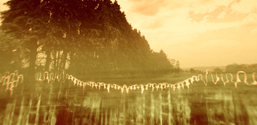
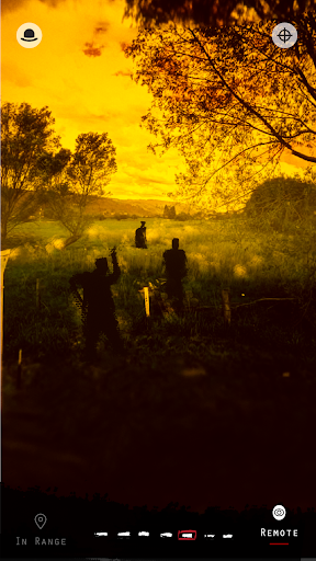
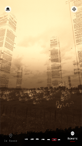
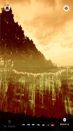
This app “Ruatoki” is an AR art piece and multimedia experience depicting the events that transpired along the “Line of Confiscation”, a 30km long boundary between Tuhoe land, and land confiscated from them by the New Zealand Crown. Audio and visual elements are layered together to create augmented reality scenes, inspired by Tāme Iti’s existing body of work. Users pass through a series of these scenes as they walk down the Line of Confiscation, each one depicting a different aspect of the events surrounding the confiscation.
This app has two methods of viewing - “In Range” and “Remote”. The on site component of the app is at the confiscation line, starting at the intersection of Awahou Rd and Reid Rd - here’s a google maps link if you need directions!
https://goo.gl/maps/ugv1Px8v5kDXQy4QA
For specific instructions on how to use each mode, follow the steps within the app.
People on site, now post the exhibition can use the “In Range” mode - this the primary experience, and overlays Augmented Reality content over landscape around the Line of Confiscation.
The “Remote” view can be used by people who are not on site to view the art piece in a 360 degree viewer. The same visual and audio elements are layered over 360 images in place of AR.
** A Brief History of the Line of Confiscation **
In 1875 the New Zealand Crown confiscated over 150,000 acres of Maori Tuhoe lands under the guise of purchase. The Tuhoe were threatened with immediate confiscation should they attempt to legitimise their ownership of the land - that they should be happy they were getting any payment whatsoever. In exchange, they received a token payment and 2,500 acres of reserve land.