Earth Map GPS: Satellite Map
Earth Map GPS: Satellite Map Summary
Earth Map GPS: Satellite Map is a ad-supported, with in-app purchases Android app in Maps And Navigation by App Wizzards. Released in May 2023 (2 years ago). It has about 300.1K+ installs and 445 ratings with a 4.29★ (good) average. Based on AppGoblin estimates, it reaches roughly 14.9K monthly active users and generates around $<10K monthly revenue (45% IAP / 55% ads). Store metadata: updated Feb 5, 2026, version 77.
Data tracking: SDKs and third-party integrations were last analyzed on Mar 11, 2026. The app's network data flows (API traffic to/from the app and its SDKs) were last crawled on Jul 12, 2025.
Store info: Last updated on Google Play on Feb 5, 2026 (version 77).
Earth Map GPS: Satellite Map was last scanned for SDKs 2026-03-11. Below is the overview of third party companies detected in the app. The full list of raw SDKs, app permissions and unknown SDKs is available here.
4.29★
Ratings: 445
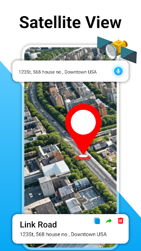
Screenshots


App Description
Live Satellite Map, GPS Navigation, Route Planner & Traffic Map
Explore the world visually with detailed satellite maps that show cities, roads, and landmarks. You can zoom in, explore famous and nearby places in 3D map style, and navigate locations before you even visit them. The satellite map gives a 3D view around you.
This app also supports GPS navigation, so you can find routes, plan trips, get driving directions and choose the best path to your destination. The smart GPS route planner makes it easy to decide where to go, and voice navigation guides you hands-free while driving, so you can stay focused on the road
The real-time traffic map feature shows you road conditions, like the intensity of traffic on city roads. If there is heavy traffic in your area or route, you can adjust your route to avoid delays. The combination of satellite map, live traffic, GPS navigation and route finder makes travel easier.
You can also find nearby places such as restaurants, gas stations, shops and more around you. Discover the world’s famous places on the Earth map, explore popular landmarks and view attractions through satellite view.
This GPS map navigation app comes with useful travel tools such as weather updates, a built-in speedometer, a an area measurement feature that enable user to select the area on map and find the area.
Whether you're driving in your city or exploring a new place, this GPS navigation app helps you travel with confidence and see the global maps clearly