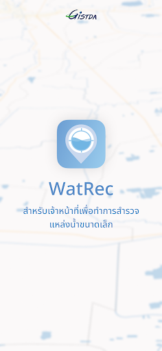
WatRec
WatRec Summary
WatRec is a mobile Android app in Maps And Navigation by สำนักงานพัฒนาเทคโนโลยีอวกาศและภูมิสารสนเทศ GISTDA. Released in Oct 2023 (2 years ago). It has about 294+ installs Based on AppGoblin estimates, it reaches roughly 17 monthly active users . Store metadata: updated Oct 26, 2023.
Recent activity: 2.00 installs this week (7.00 over 4 weeks) showing steady growth View trends →
Store info: Last updated on Google Play on Oct 26, 2023 .
4.99★
Ratings: 0
Screenshots

App Description
Track water levels with WatRec, a state-of-the-art water level tracking app powered by technology.
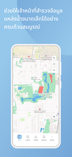
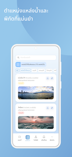
Application for measuring water levels From advanced geospatial technology to receive accurate and timely water level measurements. Stay informed about even the slightest water level changes. This ensures that you stay ahead of potential problems. Transform complex data into easy-to-understand graphs and trends. Shows images of changes in water levels over time. Helps you make informed decisions about water use. land management and more. Additionally, WatRec leverages state-of-the-art geospatial mapping to visualize water levels in various locations. Whether it's a single pond The ponds are connected together to form a network. or the entire basin WatRec's geospatial technology provides a comprehensive view for better insights. WatRec's intuitive interface ensures easy access and interpretation of water level data for users of all backgrounds. No technical expertise required, helping to make informed decisions regarding land use planning. construction projects and more with accurate insights into your property's water levels.