Measure distance on map. Land
Measure distance on map. Land Summary
Measure distance on map. Land is a with in-app purchases iOS app in Maps And Navigation by Andrey Rozhkov. Released in Sep 2015 (10 years ago). It has 798 ratings with a 4.53★ (excellent) average. Based on AppGoblin estimates, it reaches roughly 3K monthly active users and generates around $<10K monthly revenue (100% IAP / 0% ads). Store metadata: updated Sep 23, 2017, version 12.
Recent activity: 1.00 new ratings this week View trends →
Data tracking: SDKs and third-party integrations were last analyzed on May 16, 2026.
Store info: Last updated on App Store on Sep 23, 2017 (version 12).
SDKs, Trackers & Permissions
Measure distance on map. Land was last scanned for SDKs 2026-05-16. Below is the overview of third party companies detected in the app. The full list of raw SDKs, app permissions and unknown SDKs is available here.
AppGoblin saw Measure distance on map. Land uses 1 Ad Networks
App Details
App Store
Ads & App-Ads.txt
AppGoblin SDK Scans
4.53★
Ratings: 798
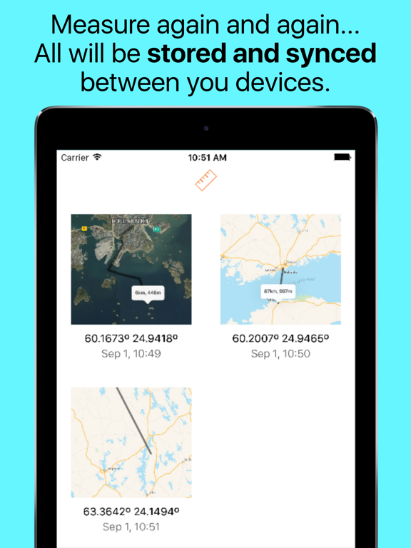
Screenshots

App Description
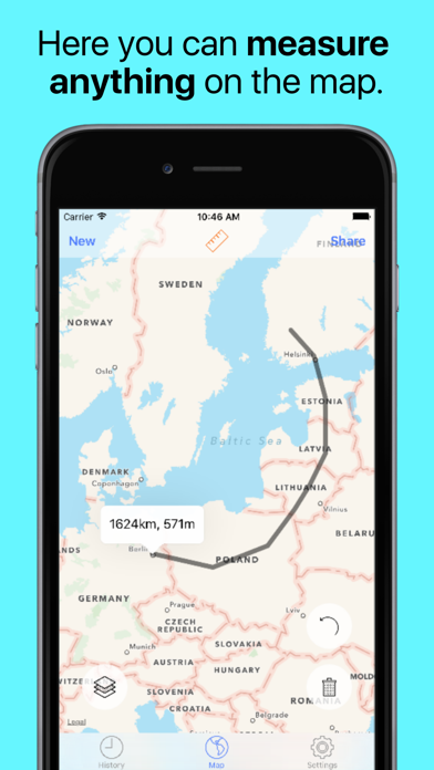
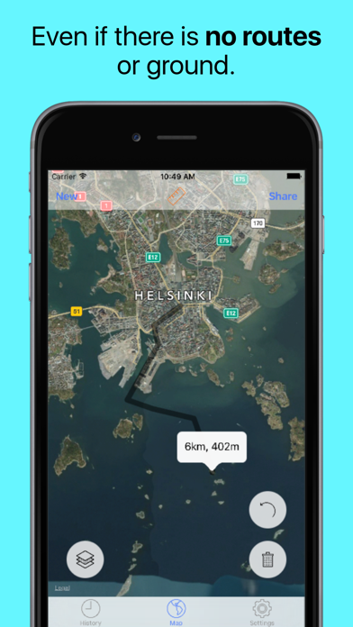
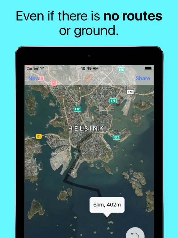
Measure length of anything on map, even if there is no routes or ground.
If you want to measure your route without roads - this is that you need!
Measure roads, buildings or lands from the bird's eye view.
Tap to map to add route points - get accurate calculations of distance.
How to use:
● Find a route you are interested in on the map.
● Tap along the route.
● Get accurate distance.
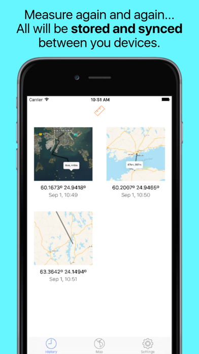
Thank you for download. If you like the app please rate it in store!
If in-app purchases make you angry - don't download. Free version limited to 5 route points per one route. Fully useful for short routes.
Disclaimer: any data, calculated by this program is relative, for accurate data considering local laws address the local geodesic services.