Wildfire & Earthquake Tracker
Wildfire & Earthquake Tracker Summary
Wildfire & Earthquake Tracker is a mobile iOS app in Weather by corey hoggard. Released in Oct 2015 (10 years ago). It has 11 ratings with a 2.27★ (poor) average. Based on AppGoblin estimates, it reaches roughly 28 monthly active users . Store last updated Oct 16, 2020
Wildfire & Earthquake Tracker SDKs Summary
App not yet scanned for SDKs.
2.27★
Ratings: 11
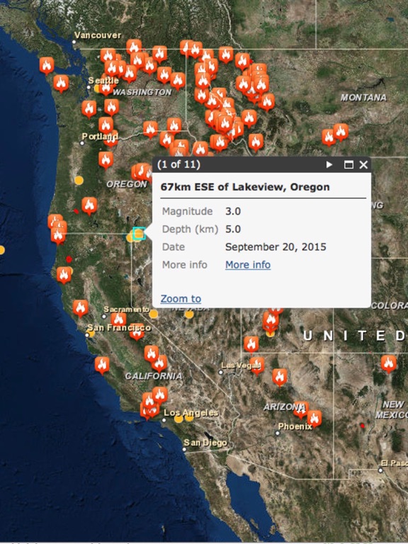
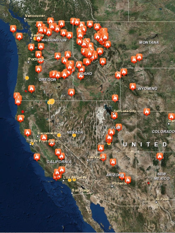
Screenshots


App Description
The Wildfire and Earthquake Tracker is an interactive mapping application that tracks US wildfires and Global earthquakes. The data feed comes from the USGS and and US Forestry Service. This map provides you with up to the minute data and access to global wildfire's as well as reported earthquakes.
-Wildfire Information and Location
-Earthquake Information and Location
-GPS integration
-Interactive Map
-Map Tables with data analysis