Valleseco Hiking Trails

Valleseco Hiking Trails Summary
Valleseco Hiking Trails is a mobile iOS app in Travel And Local by Aboratec S.C.P. Released in Feb 2016 (10 years ago). Store metadata: updated Jun 15, 2016.
Store info: Last updated on App Store on Jun 15, 2016 .
0★
Ratings: 0
Screenshots
App Description
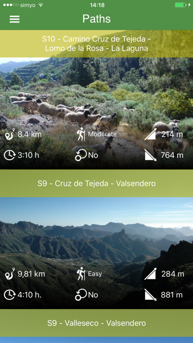
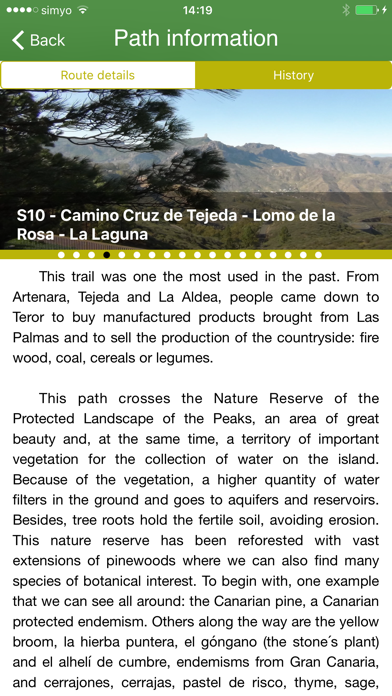
The municipality of Valleseco is located in the interior and northern area of the island of Gran Canaria, just 7 kms from Teror. Despite its name (dry valley), it is a humid area which formed part of the large extension of laurel forest that used to occupy the whole of the inner region. One of the characteristics of the municipality is its lush vegetation. In fact, 80 % of its territory is a Protected Region. Visitors have a wide range of tracks to see its most beautiful spots.
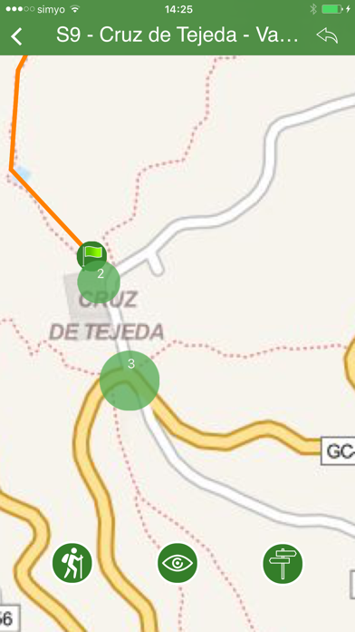
You can use this application and its maps without any connection to internet to walk through the Network of Paths of Valleseco.
Continued use of GPS running in the background can dramatically decrease battery life.