Ecobot Collector
Ecobot Collector Summary
Ecobot Collector is a mobile iOS app in Productivity by Ecobot, Inc.. Released in Dec 2019 (6 years ago). It has 135 ratings with a 4.90★ (excellent) average. Based on AppGoblin estimates, it reaches roughly 518 monthly active users . Store metadata: updated Mar 20, 2026.
Store info: Last updated on App Store on Mar 20, 2026 .
4.9★
Ratings: 135
Screenshots


App Description
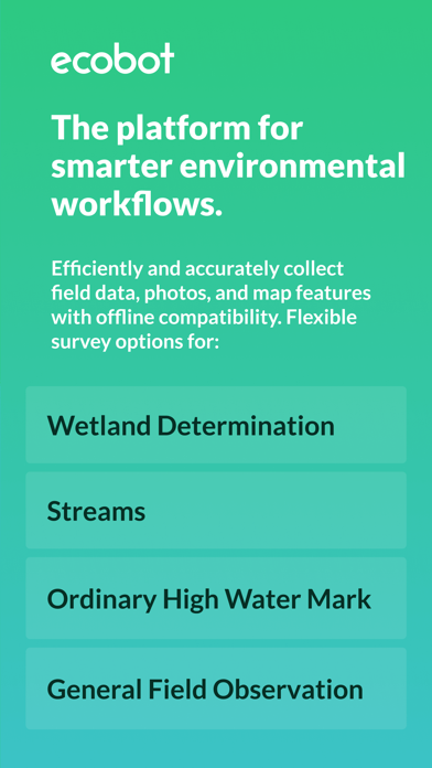
Ecobot Collector is the mobile app for field data collection within the Ecobot platform. Capture accurate field data, map features, organize photos, and complete required forms with workflows designed specifically for wetlands, streams, and natural resources assessments. Collector helps you eliminate repetitive data entry so you can stay focused on the scientific insight your clients rely on.
Collector pairs with Ecobot Manager, the web-based part of the platform, to create a connected field-to-office workflow. Together, they keep your data consistent, organized, and ready for reporting.
WHY ENVIRONMENTAL SCIENTISTS USE ECOBOT
Accurate field data
Standardized data entry, photo organization, calculations, and references support clear and defensible documentation.
Built for real field conditions
Work online or offline. Collector saves entries locally and syncs when you are back online. Unsynced data alerts keep you confident that nothing is left behind.
More time for science
Fast entry, smart defaults, and automated calculations reduce time spent on paperwork and rework.
Consistent data across your team
Unified mobile and web workflows reduce variation and help teams deliver reliable results. Project Merge and Project Transfer let you simplify large projects and reassign ownership easily.
Connected to Ecobot Manager
Review, manage, QA, and export data from the web with enhanced photo editing, favorites, rotation, and multi-image tools. Two-factor authentication and role-based permissions support better team controls.
KEY FEATURES
Field data collection for wetlands, streams, and natural resources
Capture vegetation, soils, hydrology indicators, OHWM observations, and more. Record photos with mapped metadata and build automated project photo logs. Work entirely offline when needed.
Standardized forms and automated calculations
Use USACE Regional Wetland Determination Data Sheets, USACE Rapid OHWM, and NC DWQ Stream Identification forms. Collector automates indicators, dominance ratios, prevalence indices, and other required calculations.
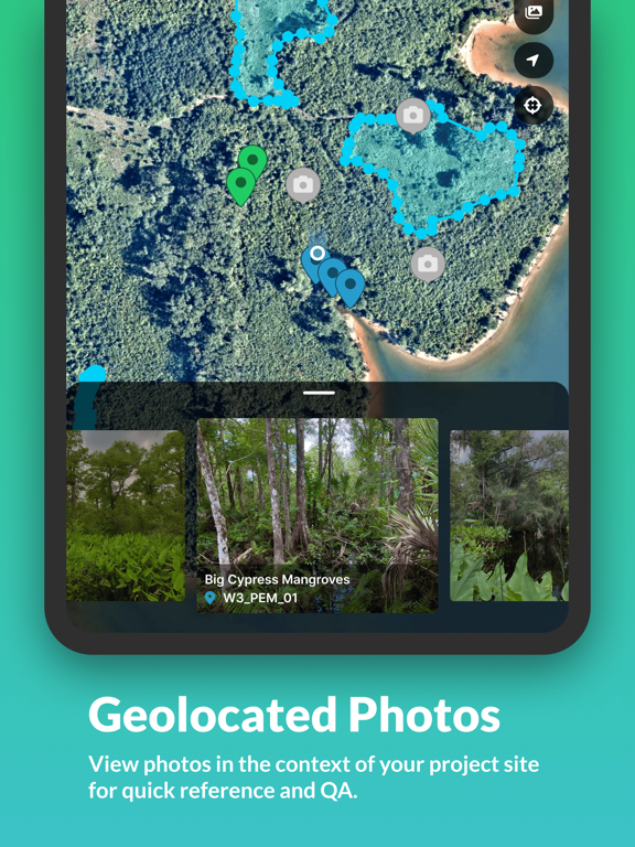
Integrated mapping
Drop points, lines, and polygons. Navigate to features. View geolocated photos. Use mobile GPS or compatible GNSS receivers in the field. Jump directly to features and photos from the home screen.
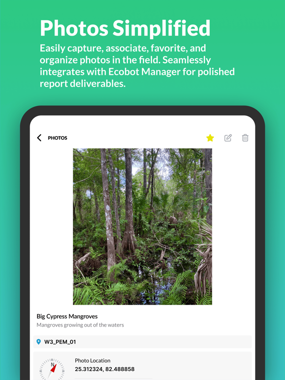
Advanced photo tools
Capture, organize, and sort photos instantly. Tag favorites, rotate incorrectly or