GPS Altitude-海拔表

GPS Altitude-海拔表 Summary
GPS Altitude-海拔表 is a free, with in-app purchases iOS app in Maps And Navigation by 祥琦 孔. Released in Oct 2017 (8 years ago). It has 40K ratings with a 4.60★ (excellent) average. Based on AppGoblin estimates, it reaches roughly 55K monthly active users and generates around $<10K monthly revenue (100% IAP / 0% ads). Store last updated May 28, 2026
SDK intelligence: AppGoblin detected 4 ad networks(e.g. KuaiShou) integrated into GPS Altitude-海拔表. View full SDK list →
GPS Altitude-海拔表 SDKs Summary
GPS Altitude-海拔表 was last scanned for SDKs on 2026-07-30. Below is the overview of third-party companies detected in the app. The full list of SDKs, permissions and unknowns is available here.
 KuaiShou
 Baidu
Baidu Pangle
4.6★
Ratings: 40K
Screenshots




App Description
[Introduction]
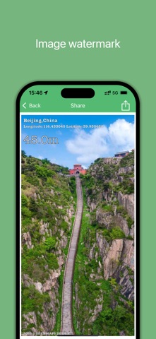
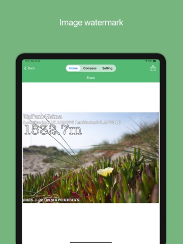
It's an essential APP for outdoor people. It can accurately measure altitude, latitude and longitude, direction and so on. It can also share photos with information such as altitude to social network.
[Function]
1. Altitudinal: accurate real-time display of current altitude information.
2. Compass: accurate and real-time display of the current direction.
3. Locator: display the current latitude and longitude and address information and display it on the map.
4. Social sharing: you can take photos of the album or camera in Shanghai to get the watermark and share it.
5.Increase air pressure display.
[Contact]
cnmaps@qq.com
[Weibo]
http://weibo.com/cnmaps