Outdoor Alta Badia

Outdoor Alta Badia Summary
Outdoor Alta Badia is a free iOS app in Maps And Navigation by Outdooractive AG. Released in Apr 2017 (9 years ago). It has 72 ratings with a 4.51★ (excellent) average. Based on AppGoblin estimates, it reaches roughly 168 monthly active users . Store last updated Dec 16, 2021
Outdoor Alta Badia SDKs Summary
App not yet scanned for SDKs.
4.51★
Ratings: 72
Screenshots

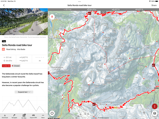
App Description
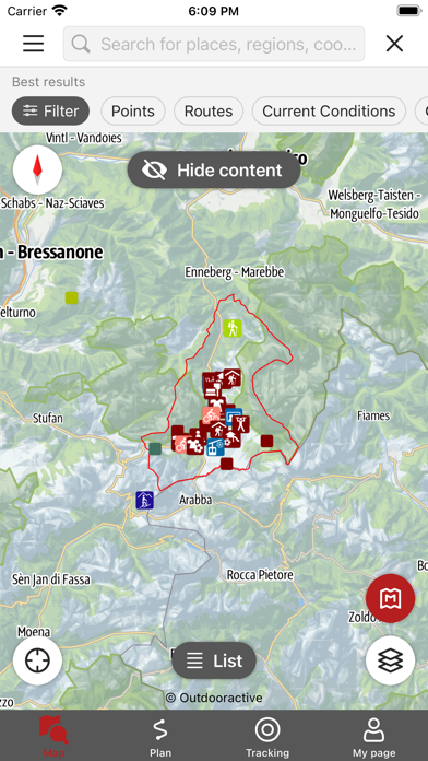
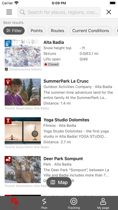
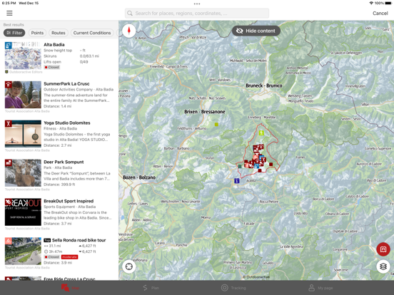
Search by place or activate your location to discover nearby activities. Filter results based on your interests and explore the map to find new ones. Put the results in list form to immediately see a brief description.
You can get detailed descriptions, technical information, maps and GPS directions that you can even save offline for your summer and winter outdoor activities in Alta Badia.
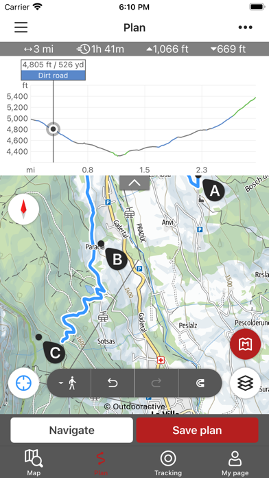
You can also create custom itineraries:
- plan your itinerary directly on the app’s map
- record your route and add photos and descriptions
share your favourite itineraries with your friends to plan your next outdoor adventure in Alta Badia and the Dolomites
Discover even more features!
Apple Health:
When you record a cycling, hiking, walking or running track you are able to save work outs to Apple Health. Data from HealthKit will not be used for marketing or promotional purposes.
Important:
Using the app in the background with your GPS activated will significantly reduce battery life.