Cape to Cape Track Guide
Cape to Cape Track Guide Summary
Cape to Cape Track Guide is a mobile iOS app in Travel And Local by Find the Fun Pty Ltd. Released in Jun 2017 (8 years ago). It has 35 ratings with a 4.68★ (excellent) average. Based on AppGoblin estimates, it reaches roughly 42 monthly active users . Store metadata: updated Mar 7, 2026.
Store info: Last updated on App Store on Mar 7, 2026 .
4.68★
Ratings: 35
Screenshots

App Description
Take this guide with you when walking the Cape to Cape Track. It has all the information you need to both navigate and prepare for the Track. It's built by local Western Australians who have walked the Track several times and live only a few km from the Track. We know the area!
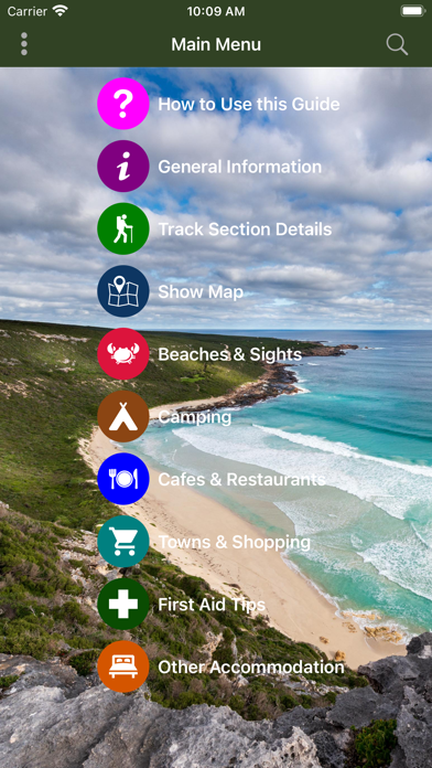
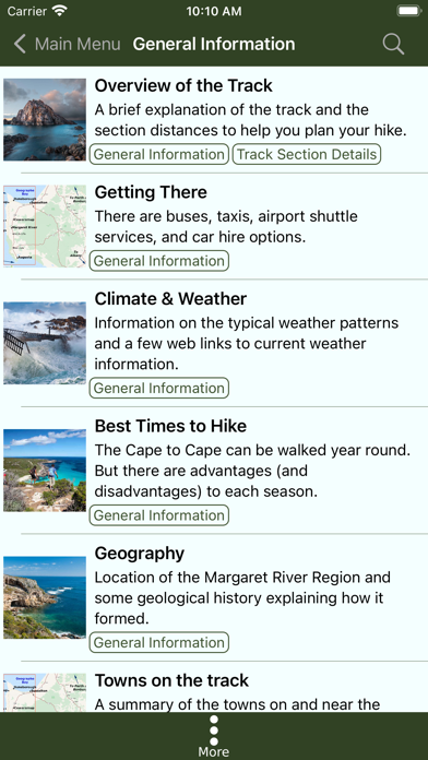
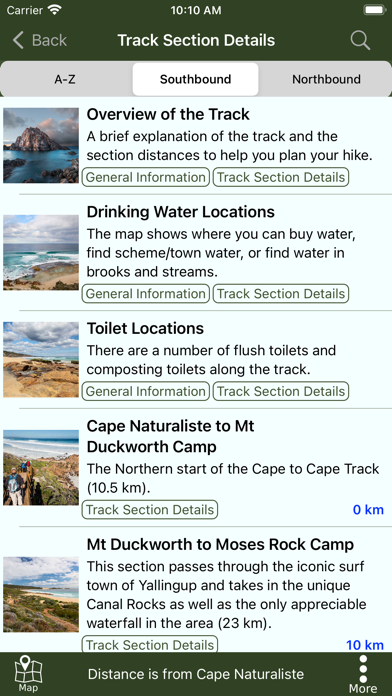
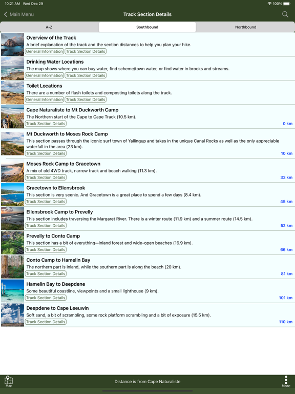
The guide works 100% without needing mobile phone reception or Internet access. The offline maps are very detailed, show the Cape to Cape Track, show where you are via GPS, and are marked up with camping areas, sightseeing, water sources, places to swim, some accommodation, restaurants and food shops, the best beachs, sights and many other points of interest. The App shows you how many kilometres you are from places like camping area and towns, and has an interactive elevation graph so you can see what hills are between you and places.
The App has advice on how to prepare for your trip, what gear to bring, when to walk, possible itineraries and suitable food. It has many other features, photos and information, as described below.
FEATURES:
- Very detailed offline maps. They ALWAYS work, even when mobile phone coverage and Internet are not available.
- The map is tuned to look great on a small phone screen and show details that a walker in the bush needs. You'll see details such as minor tracks at map zoom levels where most other maps hide them. So zoom out and tracks don't disappear from your map! Great for your safety and easier for you to navigate even with a tiny screen.
- Contour lines are shown on the map as you zoom in a little.
- Uses GPS to show your location.
- The map has extra markers for towns, camping areas, sights, places where you can get food, attractions, swimming spots and other points of interest.
- Map markers also show you where to get water and the location of toilets.
- Tap place markers on the map and be shown your distance from them along the track. See how far away that camping area is!
- An elevation graph that you can zoom-and-swipe to see all the hills and valleys along the track.
- The elevation graph shows your location and has markers for towns, camping and other places. Use it to see if you have to walk up any big hills to get to that next camping area?
- Tap town, sightseeing, camping and other markers on the map to get detailed information and photographs for those places.
- Has descriptions and pictures of each section of the Track.
- Provides