Mapitare Terrain and Sea map
Mapitare Terrain and Sea map Summary
Mapitare Terrain and Sea map is a with in-app purchases iOS app in Maps And Navigation by Mapitare Oy. Released in Jul 2017 (8 years ago). Store metadata: updated Feb 15, 2026.
Store info: Last updated on App Store on Feb 15, 2026 .
0★
Ratings: 0
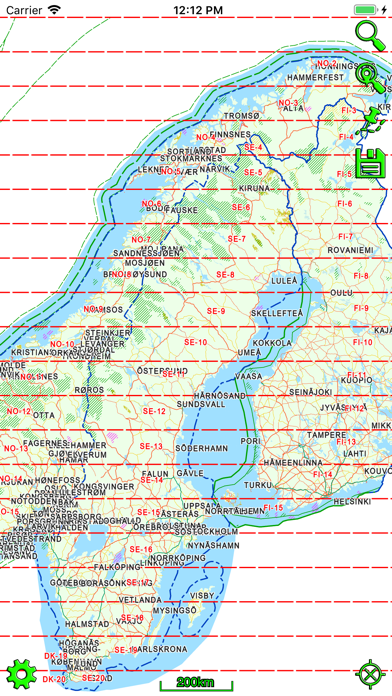
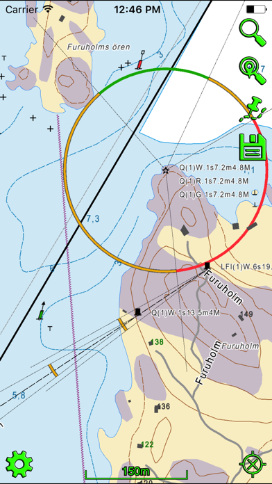
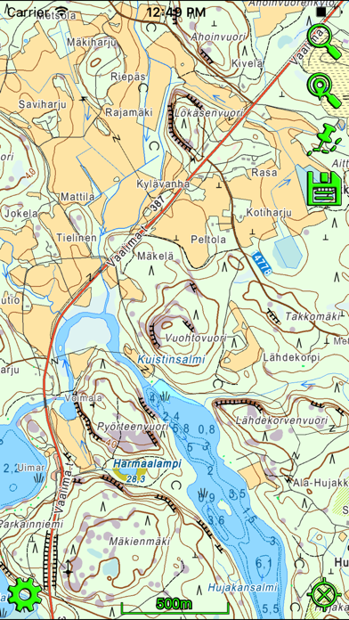
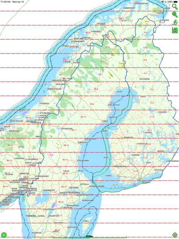
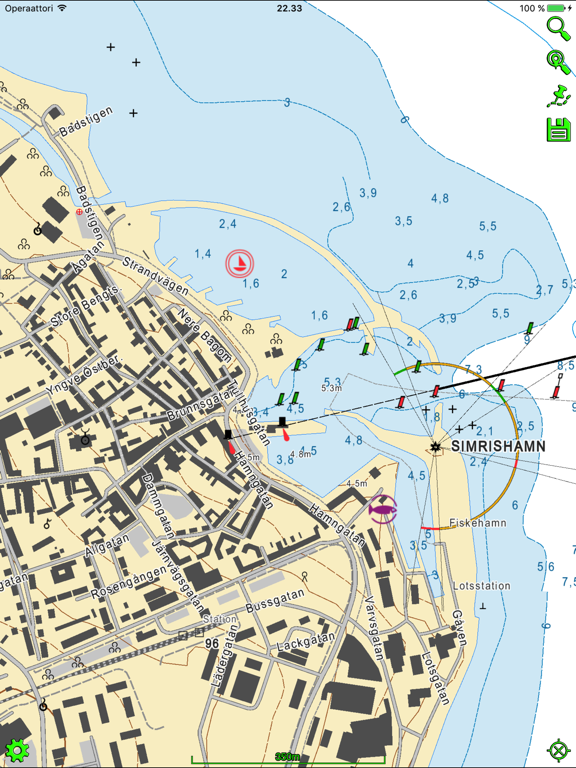
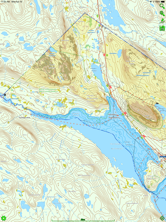
Screenshots
App Description
Now you can try all the maps free for seven days (except Swedish nautical charts for three days)!
Mapitare is the first offline mapping software on the market that can be downloaded at once and is designed for critical work and demanding conditions on land, water and air.
The Mapitare terrain and sea mapping software is useful for outdoor enthusiasts, hikers, hunters, boaters and anyone who spends time outdoors. The digital map displays real-time location on a map. The risk of getting lost in mountainous terrain is the greatest when visibility weakens, and even an experienced hiker can lose his or her sense of direction on easy forested land. A ball indicating your position on the map will guide you back to the right path. The map on your phone screen is especially useful in bad weather, when the risk of getting lost is the greatest.
The unique Mapitare terrain and sea map does not require a telephone or electricity networks to function. All of the map data has been downloaded into the memory of the phone. Offline maps are suitable for critical work and function quickly and precisely in all conditions and everywhere within the map’s area. Therefore, weak telephone and data connections do not have any effect on the use of the Mapitare map. They can be used even after the telephone network has already faded. The operator is responsible for ensuring adequate battery life, and if necessary, should back it up with a power bank or backup battery.
In its entirety the data covers all of the land and sea areas of Finland, Sweden and Norway. In future the map data will expand even further.
We offer following in-app purchases:
Terrain map of Finland
Sea map of Finland (requires terrain map of Finland)
Terrain map of Sweden
Sea map of Sweden (requires terrain map of Sweden)
Terrain map of Norway (includes depth contours)
Purchase includes routing on road, water way and snowmobile routes.
Data sources include:
National Survey
©Maanmittauslaitos, CC BY 4.0
©Lantmäteriet, CC BY 4.0
©Kartverket, CC BY 4.0
Road Management
©Liikennevirasto, CC BY 4.0
©Trafikverket, CC BY 4.0
©Kartverket, CC BY 4.0
Addresses
©Väestörekisterikeskus, CC BY 4.0
©Trafikverket, CC BY 4.0
©Kartverket, CC BY 4.0
Cadastral Registry (property)
©Finnish National Survey, CC BY 4.0
Land parcel register
©Agency for Rural Affairs, CC BY 4.0
OpenStreetMap
©OpenStreetMap con