North Carolina Pocket Maps
North Carolina Pocket Maps Summary
North Carolina Pocket Maps is a ad-supported, with in-app purchases iOS app in Travel And Local by Alex Gugel. Released in Dec 2019 (6 years ago). It has 91 ratings with a 4.70★ (excellent) average. Based on AppGoblin estimates, it reaches roughly 108 monthly active users and generates around $<10K monthly revenue (27% IAP / 73% ads). Store metadata: updated Apr 18, 2026.
Store info: Last updated on App Store on Apr 18, 2026 .
4.7★
Ratings: 91
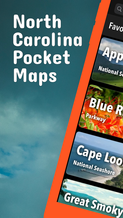
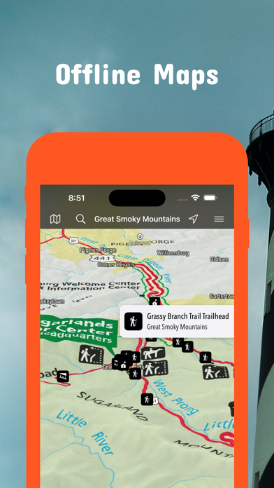
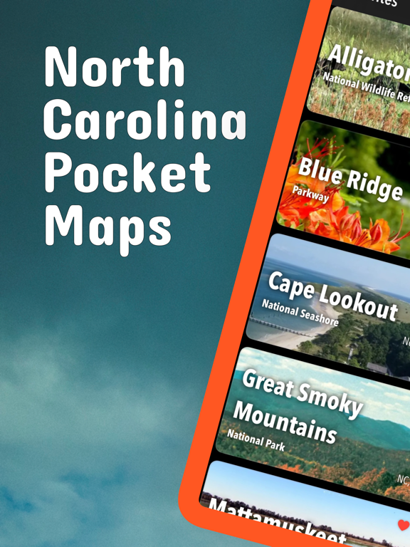
Screenshots


App Description
Be prepared! Plan your next trip to one of the great North Carolina parks. Download maps and guides before you venture into the Wi-Fi free wilderness.
Discover
- 70+ national parks, state parks, monuments, forests
- 120+ neatly folded maps by the National Park Service, Bureau of Land Management, United States Forest Services, and other agencies.
- Motor Vehicle Use Maps (MVUM), Motor Vehicle Travel Maps (MVTM) and visitor maps for California national forests.
- 600+ campgrounds and campsites
- 900+ trails and trailheads
- 61,000+ points of interests
Plan
- Download maps, park brochures, and newspapers. These downloads are ready when you are offline and off the grid in the great outdoors.
- Download arbitrary map sections as offline packs.
- Photo galleries, panorama views.
- Share links to parks and maps with friends
Have fun
- GPS and GPX support: record your hikes, import GPX routes, tracks and waypoints for your hiking trails.
- Detailed national park information: alerts, news, visitor centers, campgrounds, driving directions, weather.
- Open your favorite maps app to get a route to the selected park.
- Current weather conditions, easy access to multi-day forecasts, sunrise and sunset times.
- Push notifications for park alerts, park news, weather warnings
So download maps and guides for:
Blue Ridge
Cape Hatteras
Cape Lookout
Carolina Beach
Chimney Rock
Croatan
Elk Knob
Fort Macon
Fort Raleigh
Gorges
Grandfather Mountain
Great Smoky Mountains
Guilford Courthouse
Hanging Rock
Nantahala
Pisgah
South Mountains
Stone Mountain
Uwharrie
Wright Brothers
There are additional useful information and brochures for:
Appalachian, Carl Sandburg Home, Carvers Creek, Cliffs of the Neuse, Crowders Mountain, Dismal Swamp, Eno River, Falls Lake, Fort Fisher, Goose Creek, Gullah/Geechee, Hammocks Beach, Lumber River, Moores Creek, Overmountain Victory, Pettigrew
LEGAL
Terms of Use: https://icoat.de/pocketmaps/terms
Privacy Policy: https://icoat.de/pocketmaps/privacy