Hunting Points: GPS & Hunt App
Hunting Points: GPS & Hunt App Summary
Hunting Points: GPS & Hunt App is a free, with in-app purchases iOS app in Maps And Navigation by Fishing Points d.o.o.. Released in Aug 2018 (7 years ago). It has 8.1K ratings with a 4.61★ (excellent) average. Based on AppGoblin estimates, it reaches roughly 19.4K monthly active users and generates around $<10K monthly revenue (100% IAP / 0% ads). Store last updated Dec 17, 2025
Recent activity: 1.00 new ratings this week View trends →
SDK intelligence: AppGoblin detected 5 development tools(e.g. Airbnb Engineering), 2 analytics: product, 2 business tools, 1 analytics: attribution,and 1 ad networks integrated into Hunting Points: GPS & Hunt App. View full SDK list →
Hunting Points: GPS & Hunt App SDKs Summary
Hunting Points: GPS & Hunt App was last scanned for SDKs on 2026-06-26. Below is the overview of third-party companies detected in the app. The full list of SDKs, permissions and unknowns is available here.
AppGoblin saw Hunting Points: GPS & Hunt App uses 5 Development Tools
AppGoblin saw Hunting Points: GPS & Hunt App uses 1 Analytics: Attribution
AppGoblin saw Hunting Points: GPS & Hunt App uses 1 Ad Networks
AppGoblin saw Hunting Points: GPS & Hunt App uses 2 Analytics: Product
AppGoblin saw Hunting Points: GPS & Hunt App uses 2 Business Tools
4.61★
Ratings: 8.1K
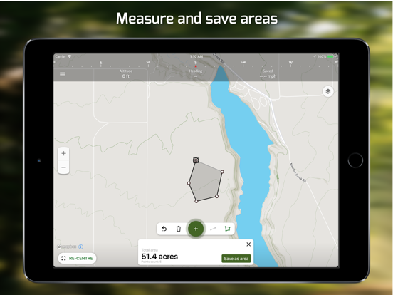
Screenshots


App Description
Hunting Points is the ultimate hunting tool suitable for every hunter and outdoorsman. With features dedicated to enhancing your experience out in the field, Hunting Points makes it easy to identify, track and save your preferred hunting grounds. Whether it’s trail camera zones, tree stand spots, or hunting areas, Hunting Points has you covered. Recording tracks, trails and marking points on the way has never been so easy with this perfect hunter’s tool.
Get easy access to land boundaries and property lines across the United States. Check private and public property lines seamlessly in app with landowner name and address information as well as other available parcel data. Hunting Points even provides you with reliable GPS coordinates to keep you on track and help you get back to base camp no matter where you are.
Check various forecasts including 7-day detailed weather forecast (hourly temperature, precipitation, wind, pressure changes) and rain & clouds map radar for potential incoming storms.
Get the top hunting companion for any outdoor expedition with Hunting Points. Download and take advantage of comprehensive tools today.
PROPERTY LINES, LAND OWNERSHIP & PARCEL DATA
• View private and public land boundaries and property lines
• Search for parcel data like landowner name and address
• Property lines coverage for the United States, Canada and New Zealand
NAVIGATION
• Save hunting locations, hotspots, and waypoints for your next trip
• Record tracks for seamless navigation back to camp
• Draw tracks, trails and hunting areas directly in the app
• Navigate to saved locations thanks to real time GPS data
• Measure distances and areas no matter where you are
• 3D map mode
OFFLINE MAPS
• Useful offline maps are available for use when there’s no coverage
• Get terrain, satellite, topo, and night mode with your offline maps
• Track your location even without cellular coverage
WEATHER
• Check current, hourly, and 7-day weather forecast information
• Get hourly wind conditions to plan your hunting approach
• Severe weather alerts to help keep you safe
• Check Rain & Clouds map radar for incoming storms (past and forecast)
RIVER DATA
• Current water levels & flows for 35k+ river stations
HUNT ACTIVITY
• Hourly deer activity forecast
• Feeding times (major and minor times)
• Best hunting times
SOLUNAR DATA
•