Site Scan for ArcGIS - LE

Site Scan for ArcGIS - LE Summary
Site Scan for ArcGIS - LE is a free iOS app in Business by ESRI. Released in Nov 2018 (7 years ago). Store last updated Apr 26, 2022
Site Scan for ArcGIS - LE SDKs Summary
App not yet scanned for SDKs.
0★
Ratings:
Screenshots
App Description
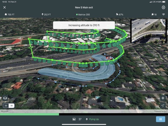
Site Scan for ArcGIS Limited Edition (LE) is a simplified version of the Site Scan for ArcGIS Flight Planning App, built for ArcGIS Drone2Map users, that allows you to easily capture rich imagery using advanced drone flights.
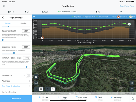
Use your favorite maps and layers from ArcGIS Online to plan accurate missions in Site Scan for ArcGIS - LE. Process your images in ArcGIS Drone2Map or an alternative stitching software to create 2D and 3D data products. Experienced pilots can use Terrain Follow, which enhances imagery quality by adjusting the drone's height to follow the terrain.
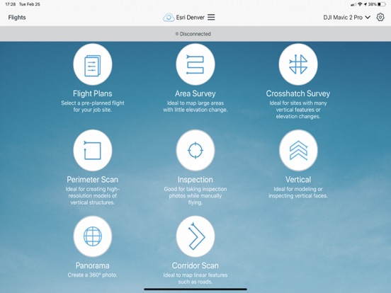
Choose from a variety of flight modes tailored to the type of site being scanned, and the app will automatically define the optimal flight path and allow you to preview it in 2D or 3D.
The app automatically conducts aircraft checks and executes the flight. Long flights are automatically split, allowing you to change your drone’s battery and resume where you left off.
Compatibility:
- Requires compatible drone: DJI P4 Advanced, DJI P4P, DJI P4P V2, DJI P4 RTK, Mavic Pro, Mavic 2 Pro, M200 series, M200 series V2, Inspire 2, DJI M300RTK.
- Requires ArcGIS Drone2Map or other image processing software to create 2D and 3D data products
- ArcGIS Online subscription required