iGeoTrans X
iGeoTrans X Summary
iGeoTrans X is a mobile iOS app in Maps And Navigation by TRAN TRUNG CHUYEN. Released in Feb 2019 (7 years ago). It has 5.00 ratings with a 5.00★ (excellent) average. Based on AppGoblin estimates, it reaches roughly 12 monthly active users . Store metadata: updated May 12, 2026.
Store info: Last updated on App Store on May 12, 2026 .
5★
Ratings: 5.00
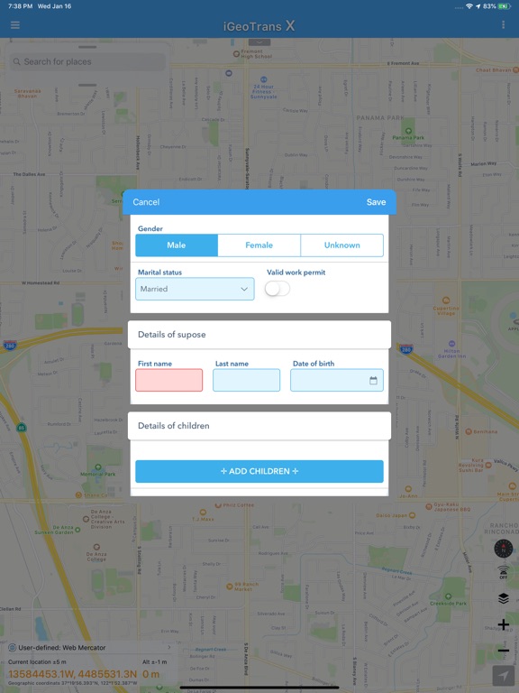
Screenshots

App Description
iGeoTrans X is a professional coordinate conversion, mapping, and field survey app for users working with coordinates, boundaries, and spatial data across different countries and regions.
The app is not limited to Vietnam. With support for more than 200 coordinate systems, iGeoTrans X can convert between local coordinate systems, national coordinate systems, projected coordinates, WGS-84, and GPS. It is suitable for both domestic and international projects.
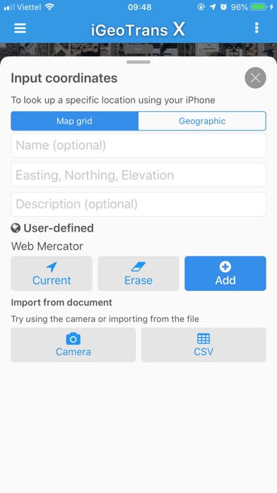
iGeoTrans X is especially useful when you need to bring projected coordinates from documents, drawings, permits, area boundaries, engineering routes, land-use boundaries, or technical datasets onto a map, then use GPS to check locations, navigate in the field, stake out points, survey, compare boundaries, or support real estate asset appraisal.
In addition to built-in coordinate systems, the app also supports custom coordinate systems, helping users work with local maps, old survey data, internal datasets, and project-specific reference systems.
SUITABLE FOR
• Survey engineers and GIS specialists
• Construction contractors and infrastructure teams
• Mining, geological exploration, and mineral survey projects
• Environmental, forestry, and natural resource management work
• Land management, real estate, planning, and appraisal workflows
• Bank staff, asset appraisers, and collateral appraisal teams
• Boundary staking, site checking, and field operations
COORDINATE CONVERSION
• Convert between more than 200 coordinate systems, including VN-2000, WGS-84, UTM, Gauss-Krüger, and many others
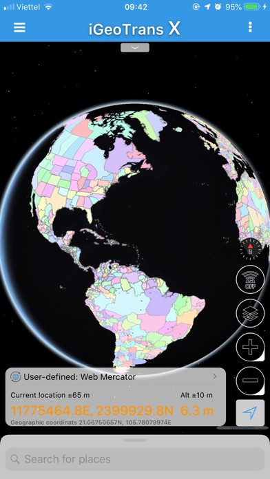
• Convert local or projected coordinates to WGS-84/GPS for map display
• Convert GPS/WGS-84 positions to local or project coordinate systems
• Full support for VN-2000 3° and 6° projection zones for all provinces and cities in Vietnam
• Define custom coordinate systems based on project requirements
• Batch-convert multiple points
• View results instantly while entering data
• Work with points, lines, polygons, and spatial data
FIELD SURVEY & PROJECT MANAGEMENT
• Create and manage unlimited survey projects
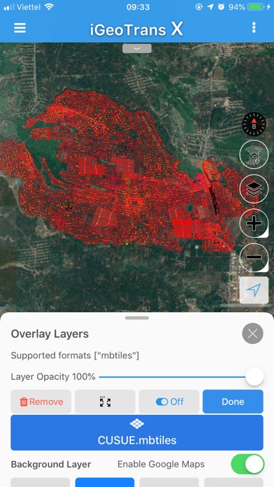
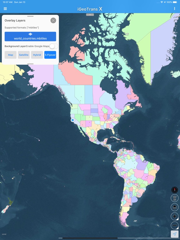
• Add GPS points, lines, and polygons directly on the map
• Record GPS tracks with elevation data
• Manage boundaries, routes, survey areas, and field objects
• Check licensed boundaries, project boundaries, land-use boundaries, survey zones, and working areas
• Support