Lim Geomatics Prism

Lim Geomatics Prism Summary
Lim Geomatics Prism is a free iOS app in Maps And Navigation by Remsoft Inc. Released in Jun 2019 (7 years ago). It has 1.00 ratings with a 4.00★ (good) average. Based on AppGoblin estimates, it reaches roughly 3.00 monthly active users . Store last updated Apr 22, 2025
Lim Geomatics Prism SDKs Summary
App not yet scanned for SDKs.
4★
Ratings: 1.00
Screenshots


App Description
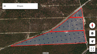
Lim Geomatics Prism is an offline capable orientation and data collection app that is easy to set up, highly configurable and works on all major tablets. Prism is also fully integrated with ArcGIS Online to maximize compatibility with other forestry management applications.
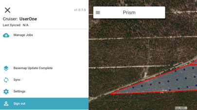
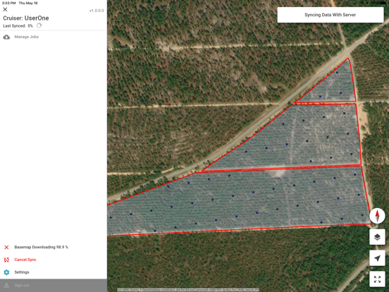
Forest managers can plan cruises in advance for diverse forest types, management goals, and environmental factors. Cruisers can then instantly sync data from the mobile app back to the office when within Wi-Fi, cellular, or satellite internet coverage. Pre-determined plans are downloaded to the mobile app so foresters can execute cruises offline in remote locations.
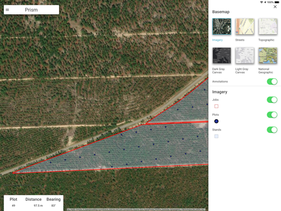
Another unique feature of Prism is built-in navigation, which harnesses the tablet's GPS system and automatically downloads offline basemaps including satellite, hillshade and road network imagery for the worksites to be visited. Cruisers don't have to switch between applications or devices to know where they are in the forest and where they're going next.
Prism is an all-in-one timber cruising app that is as powerful as it is user-friendly. It can even catch data entry errors before they get synced to the cloud with the Data Collection Validation Notification feature.
Try Prism today and dramatically enhance the efficiency and accuracy of your forest sampling program.
How Lim Geomatics Prism Benefits You:
- User-friendly and compatible with all major tablets
- Seamless data synchronization between the mobile app and cloud
- Cruise offline in remote locations with pre-defined cruises and basemaps
- GPS capability built into mobile app
- All-in-one cruise navigation and data entry
- Highly configurable for diverse management goals and forest types
- Immediate data validation safeguards data integrity
- Fully integrated with ArcGIS Online for unrivaled compatibility