GPS Photo: Geotag Location
GPS Photo: Geotag Location Summary
GPS Photo: Geotag Location is a free, ad-supported, with in-app purchases iOS app in Photo And Video by AppAspect Technologies Pvt. Ltd.. Released in Jun 2019 (7 years ago). It has 17 ratings with a 3.07★ (mixed) average. Based on AppGoblin estimates, it reaches roughly 6.00 monthly active users and generates around $<10K monthly revenue (24% IAP / 76% ads). Store last updated Aug 19, 2025
GPS Photo: Geotag Location SDKs Summary
App not yet scanned for SDKs.
3.07★
Ratings: 17
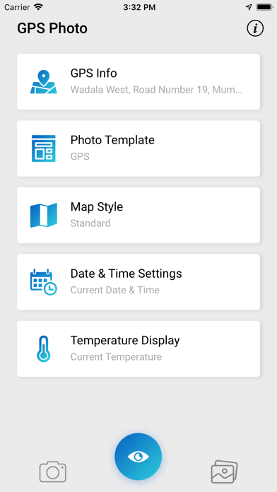
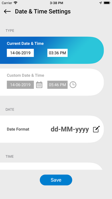
Screenshots

App Description
Are you often curious about the exact location where your photos were taken?
No need to worry! With the Geotag Location app, you can effortlessly identify the location where your cherished memories were captured. This app allows you to add location tags to your photos, browse photo history on a map, and even open photo locations directly in the map. Save or share your photos with GPS data and relive those special moments. A must-have for travel enthusiasts and photo lovers alike!
With the GPS Photo: Geotag Location, you can:
- Add location, date, and address stamps to camera or gallery photos.
- Include additional details such as longitude, latitude, temperature, and weather
conditions.
- Browse your photo history on a map.
- Open photo locations directly in the map.
- Share your photos with precise geotagging details.
Features:
- Display the location on a map.
- Provide the full address of the location.
- Show time and date of capture.
- Include latitude and longitude.
- Display weather details and temperature.
- Browse and track your photo history on a map.
- Open photo locations seamlessly in the map.