Chocorua Map
Chocorua Map Summary
Chocorua Map is a mobile iOS app in Education by Richard Allmendinger. Released in Nov 2019 (6 years ago). It has 3.00 ratings with a 3.67★ (average) average. Based on AppGoblin estimates, it reaches roughly 2.00 monthly active users . Store metadata: updated Dec 2, 2025.
Store info: Last updated on App Store on Dec 2, 2025 .
3.67★
Ratings: 3.00
Screenshots

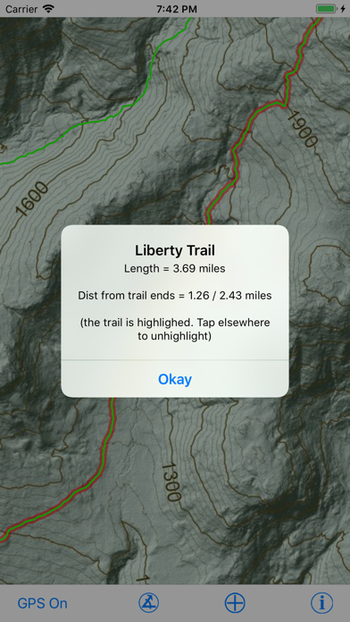

App Description
The Chocorua Map app is a mobile guide to trails and points of interest (POIs) in and around Mt. Chocorua and its eponymous Lake, especially the area preserved, directly or indirectly, by the Chocorua Lake Conservancy (CLC). If you allow the app to use your location (e.g., GPS), you can find and track your position on the map. The app contains abundant information on trails, including how long it should take at a given pace, as well as historical and geological points of interest.. Measure distances and compass bearings by tapping and dragging on the map. Publicly accessible lands of different types are shown with transparent color overlay. The background map was rendered from LiDAR topography and has a resolution of 1 meter.
The app's built-in POIs describe sites of historical interest, unique landscape features and how they developed, and features of geological and ecological significance. The user may enter their own POIs and attach photos to them; all user-entered information remains private to user's device. The user can share their POIs with other people or apps via the standard iOS Sharing Panel. The app is completely self-contained: No internet connection is necessary. Furthermore, user data is NEVER uploaded automatically to the Internet and can never be seen by the app programmer, CLC, or any other third party.
This app is for educational purposes only and should not be used as a sole source of navigation. The CLC and the author are not responsible for the accuracy of any of the information presented by this app.