Active Wildfire Tracker Map

850 installs
17 ratings
44 monthly active users
$<10K monthly revenue est.
IAP 0% · Ad 100%
Active Wildfire Tracker Map Summary
Active Wildfire Tracker Map is a ad-supported iOS app in Weather by corey hoggard. Released in Jul 2020 (6 years ago). It has 17 ratings with a 2.12★ (poor) average. Based on AppGoblin estimates, it reaches roughly 44 monthly active users and generates around $<10K monthly revenue (0% IAP / 100% ads). Store last updated Jan 29, 2025
Active Wildfire Tracker Map SDKs Summary
App not yet scanned for SDKs.
2.12★
Ratings: 17
Screenshots


App Description
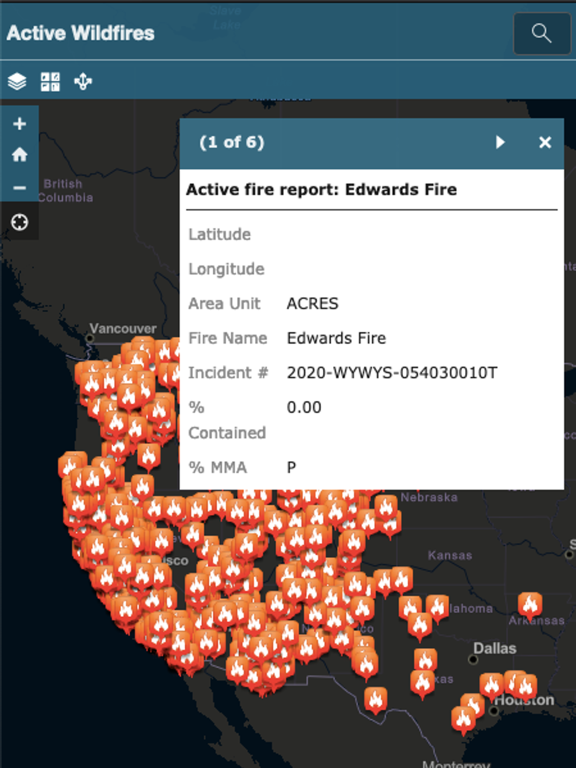
Active Wildfire Tracker Map is an interactive mapping application that tracks the current active wildfires in the US. The data is updated hourly and offer GPS capabilities.