Bruce Trail App
Bruce Trail App Summary
Bruce Trail App is a with in-app purchases iOS app in Lifestyle by The Bruce Trail Conservancy. Released in Nov 2021 (4 years ago). It has 169 ratings with a 4.38★ (good) average. Based on AppGoblin estimates, it reaches roughly 488 monthly active users and generates around $<10K monthly revenue (100% IAP / 0% ads). Store metadata: updated Feb 3, 2026, version 267.
Data tracking: SDKs and third-party integrations were last analyzed on Jun 5, 2026.
Store info: Last updated on App Store on Feb 3, 2026 (version 267).
4.38★
Ratings: 169
Screenshots


App Description
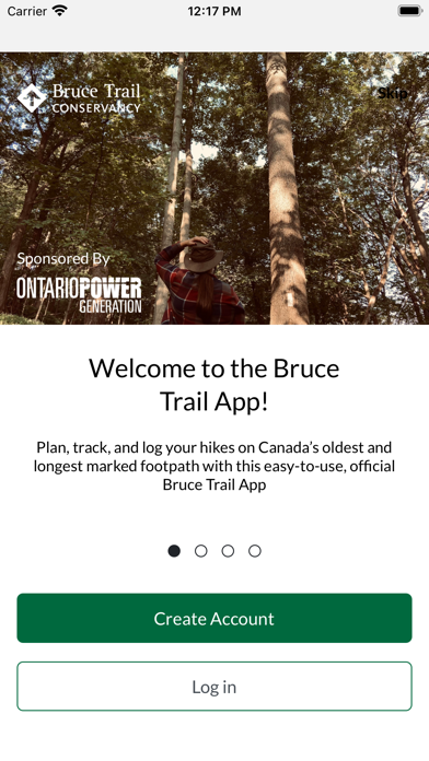
Plan, track, and log your hikes while exploring Canada's oldest and longest marked footpath with this easy-to-use, official Bruce Trail App.
- Available for FREE 7-day trial followed by subscription for $2.99/month or $29.99/year. -
Find your way with the most up-to-date Bruce Trail information and helpful navigational tools.
Did you know the actual route of the Bruce Trail changes often? With the Bruce Trail App, you'll have automatically updated Trail information, direct from the Bruce Trail Conservancy, right in the palm of your hand for stress-free adventures.
With over 1,300 km of trail along the Niagara Escarpment, there is so much to explore. The Bruce Trail App can help beginner hikers, seasoned explorers, and aspiring End-to-Enders alike!
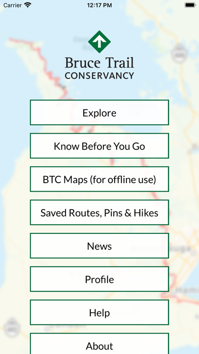
The Bruce Trail App features the 42 official Bruce Trail maps from Queenston to Tobermory. Carry your map wherever, whenever, even with no cell service on the Trail. Easily download individual maps, or the full set, to have a map layer that works when the app is offline.
Plan custom routes and measure distances. Find details on parking and camping. Follow your location on the Bruce Trail in real time, track and save your hikes, and more.
Proceeds from app subscriptions go to the Bruce Trail Conservancy to help maintain the app, care for the Trail, and support our conservation work.
---
Sponsored by Ontario Power Generation
__
FEATURES:
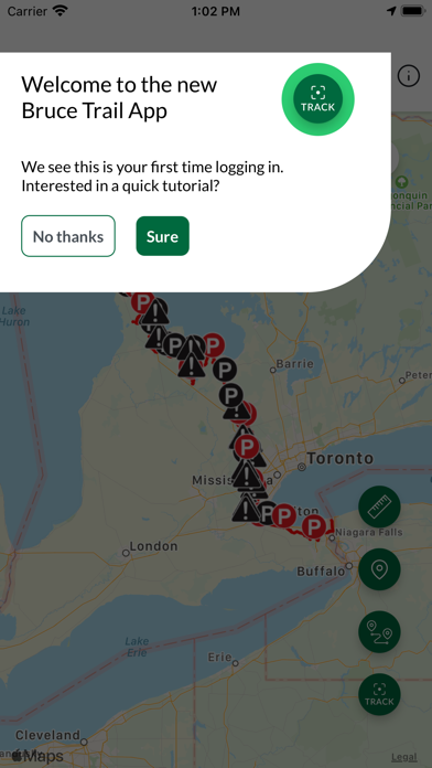
- Explore over 1,300 km of trails on the Niagara Escarpment:
View the full 900 km main Bruce Trail and over 400 km of associated side trails, from Queenston to Tobermory.
- Find Parking and Camping Information:
Clearly see locations of Trail access points, parking locations, and official camping sites. Get directions, and links to parking/camping reservations, with a simple tap.
- Customize Your Map View:
View the Bruce Trail on any of 3 different map layers: default, satellite, or the Bruce Trail Conservancy topographic maps. Use map filters to show only the data you want to see.
- Measure Distances and Plan Routes:
Tap along the Trail to plan your route and measure the distance you will be hiking. Use the Measurement tool for simple A-to-B distances, or the Route tool to measure and plan a hike involving loops or multiple trails.
- Track and Record Hikes:
See your location on the Trail. Record your day's hike and see how far you have travelled. Keep a log of al