GPS Live Navigation & Live Map
GPS Live Navigation & Live Map Summary
GPS Live Navigation & Live Map is a ad-supported, with in-app purchases iOS app in Maps And Navigation by Erasoft Technology. Released in Feb 2022 (4 years ago). It has 156 ratings with a 3.01★ (mixed) average. Based on AppGoblin estimates, it reaches roughly 372 monthly active users and generates around $<10K monthly revenue (25% IAP / 75% ads). Store metadata: updated Feb 25, 2026, version 1.
Recent activity: -1 new ratings this week View trends →
Data tracking: SDKs and third-party integrations were last analyzed on May 18, 2026.
Store info: Last updated on App Store on Feb 25, 2026 (version 1).
SDKs, Trackers & Permissions
GPS Live Navigation & Live Map was last scanned for SDKs 2026-05-18. Below is the overview of third party companies detected in the app. The full list of raw SDKs, app permissions and unknown SDKs is available here.
AppGoblin saw GPS Live Navigation & Live Map uses 4 Ad Networks
AppGoblin saw GPS Live Navigation & Live Map uses 3 Development Tools
AppGoblin saw GPS Live Navigation & Live Map uses 1 Analytics: Product
AppGoblin saw GPS Live Navigation & Live Map uses 1 Business Tools
App Details
App Store
Ads & App-Ads.txt
AppGoblin SDK Scans
3.01★
Ratings: 156
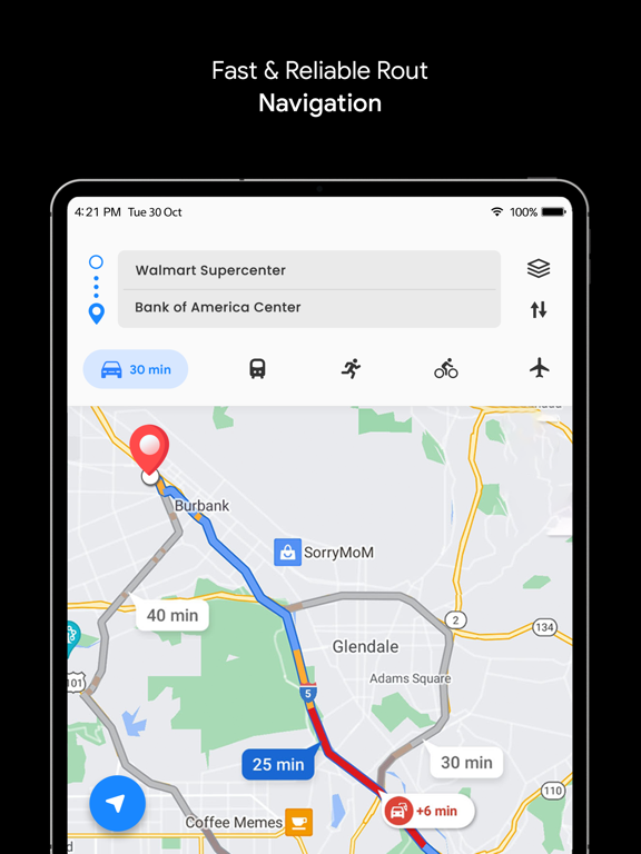
Screenshots


App Description
GPS Live Navigation & FreeMaps with voice navigation, live map, traffic, offline Gps & direction. Map GPS navigation route directions location live car driving satellite view. Maps is provide Flyover and 3D maps's map service to replace the Google Maps application on iOS devices.
Real-time GPS navigation & local suggestions for food, events, & activities. Control maps, media and messaging. iMaps can Save time on every drive. Sygic will provide you useful features: street view, offline+maps, gps tracker, location sharing, navigation maps, gps driving route and many more! GPS Maps tells you about directions, traffic, police, crashes & more.
In Live GPS Navigation & Maps, You can find driving directions using GPS, Maps, Voice Navigation & Directions App also can check Live traffic updates, voice navigation, find location, weather & transit info. GPS maps can help Live traffic updates, voice navigation, find location, Gps live location, whether & transit info.
Get there faster with real-time updates:
• Maps - Navigate & Explore
• Maps Auto - Google Maps, Media & Messaging
• Navigation for Google Maps Go
• GPS, Maps, Traffic Alerts & Live Navigation
• GPS, Maps, Voice Navigation & Directions
• GPS Live Navigation, Maps, Directions and Explore
GPS Maps and Directions main features:
• REAL-TIME MAPS
• MAPS & LIVE NAVIGATION
• TRAFFIC ALERTS
• GPS TRACKER
• NAVIGATION
• STREETVIEW
Why GPS Maps Navigation?
• Find Path: Truck GPS & Maps
• Transit is your real-time urban travel companion
• Truck Stops & Weigh Stations
• Maps - Transit & Food
• MapQuest GPS Navigation & Maps
GPS location is maps an online service that builds custom maps based on OpenStreetMap. Waze is a web mapping and navigation service with street view map, radar detector, satellite map.
GPS Signals
Get real-time GPS navigation and street view, traffic, and transit info, and find what you need by getting the latest information on businesses, including grocery stores, pharmacies and other important places using offline maps. My maps helps radars, speed-traps & traffic.
Maps Customisation
Waze navigation live traffic is the only offline map application that combines real-time alerts with the best speed camera detection system using GPS. Navigation & Live Traffic will helps avoid traffic, police, hazards and Navigation and hiking trails.
By using Free GPS Naviga