Acres: Land Data & Parcel Maps
Acres: Land Data & Parcel Maps Summary
Acres: Land Data & Parcel Maps is a with in-app purchases iOS app in Business by AcreMaps, LLC. Released in Oct 2022 (3 years ago). It has 1.9K ratings with a 4.61★ (excellent) average. Based on AppGoblin estimates, it reaches roughly 8.2K monthly active users and generates around $<10K monthly revenue (100% IAP / 0% ads). Store last updated Jun 18, 2026
Recent activity: 5.00 new ratings this week View trends →
SDK intelligence: AppGoblin detected 4 development tools(e.g. Google), 2 business tools,and 2 analytics: product integrated into Acres: Land Data & Parcel Maps. View full SDK list →
Acres: Land Data & Parcel Maps SDKs Summary
Acres: Land Data & Parcel Maps was last scanned for SDKs on 2026-06-26. Below is the overview of third-party companies detected in the app. The full list of SDKs, permissions and unknowns is available here.
4.61★
Ratings: 1.9K
Screenshots


App Description
Acres makes discovering property lines, landowner information, and land for sale easier than ever. Now with route tracking, offline maps, 3D maps, waypoints, and custom maps that sync between your mobile device and desktop.
Acres is the ultimate on-the-go mapping and land analysis tool for landowners, developers, land investors, and real estate professionals. Effortlessly locate property boundaries, evaluate parcel-level insights, and browse land listings. With Acres, you’ll have access to data for millions of parcels across the US—plus the power to save and share your property maps on the go.
◆ NEW FEATURE HIGHLIGHTS
• Route Tracking: Track and save your path as you walk.
• Offline Maps: Access saved satellite-view areas or custom maps when you’re off grid.
• 3D Maps: Visualize terrain in 3D mode.
• Waypoints: Mark, save, and share points of interest on the map.
◆ SEARCH LAND FOR SALE
• Land Listings: Instantly find and share land for sale across the US.
◆ FIND OWNER NAMES & PROPERTY LINES
• Owner Info: View landowners’ names.
• Property Lines: Check precise property boundaries.
◆ RESEARCH LAND ON THE GO
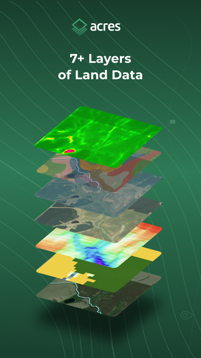
• Soil Maps: Assess soil composition and quality.
• Elevation & Topography: Quickly view topographic data with adjustable contour lines.
• Historical Imagery: Historic satellite imagery at the parcel level.
• Vegetation Index: Historic plant health based on light wave reflection..
• Crop History: Annual crop coverage gathered via satellite imagery.
• County Rent: Estimates for cash rental rates for cropland and pastureland.
• County Yield: Farmer-reported survey data of annual expected crop yields.
• Property Tax: Stay informed with recent property tax info.
• Flood and Wetlands: Check flood risk and identify wetland areas.
◆ ACCESS & SHARE LAND DATA ANYWHERE
• Save Parcels: Keep track of parcels for offline viewing.
• Share Maps: Share your property map and land data directly from the app.
• Waypoints: Mark, save, and share points on the map.
• Sync with Desktop: Seamlessly move between your mobile device and desktop for full-scale analysis.
• Free 3D Maps: Toggle on/off to explore land from every angle—fully compatible with insights and custom maps.
◆ CUSTOM MAPS
• Geotag Photos: Snap pictures on-site and automatically mark their location.
• Add Notes: Label and add descriptions to