iAIS
iAIS Summary
iAIS is a free, with in-app purchases iOS app in Maps And Navigation by DigitalYacht Ltd.. Released in Oct 2010 (15 years ago). It has 10 ratings with a 2.70★ (poor) average. Based on AppGoblin estimates, it reaches roughly 26 monthly active users and generates around $<10K monthly revenue (100% IAP / 0% ads). Store last updated Dec 6, 2021
iAIS SDKs Summary
iAIS was last scanned for SDKs on 2026-05-05. No known SDKs were detected. Check the raw list of SDK parts detected here and feel free to request unknown SDKs be added to AppGoblin.
2.7★
Ratings: 10
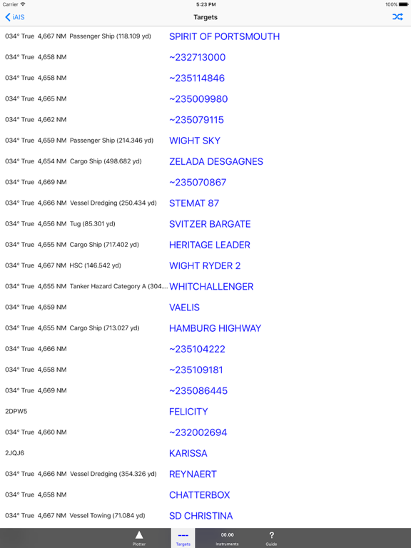
Screenshots

App Description
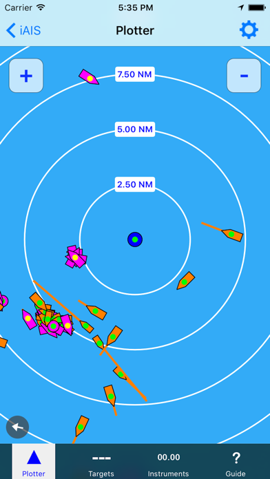
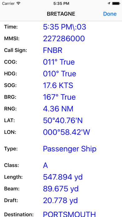
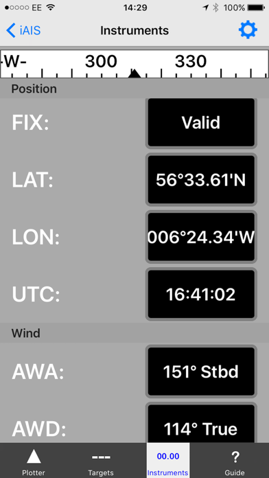
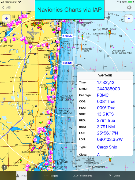
iAIS is a simple AIS target plotter and NMEA data instrument designed for use with the DigitalYacht iAIS WiFi receiver. AIS targets are plotted relative to iPhone/iPod/iPad position. Tapping on an AIS target displays details (i.e. speed, course, destination, type, length, etc.). GPS and Wind data can also be viewed on the Instrument panel.
You can also display the AIS targets over your Navionics charts. With a one off In App purchase, iAIS can use all your existing Navionics charts with no additional charges for the charts.
You can share your boat's live position, speed and course and be visible on other free internet based AIS apps and web sites like BoatWatch and MarineTraffic if you have a valid MMSI number for your boat.
In the US you can obtain an MMSI number for your boat by visiting http://www.boatus.com/mmsi.
In the UK visit https://www.ofcom.org.uk/manage-your-licence or email us for an internet only MMSI number.
Please note that continued use of GPS running in the background can dramatically decrease battery life.
NOT FOR NAVIGATION
iAIS should only be used for basic navigation reference and should not be solely relied upon to determine precise locations, proximity, distance, or direction.