You Need A Map
You Need A Map Summary
You Need A Map is a mobile iOS app in Maps And Navigation by GrangerFX. Released in Jan 2011 (15 years ago). It has 60 ratings with a 4.33★ (good) average. Based on AppGoblin estimates, it reaches roughly 100 monthly active users . Store metadata: updated Jan 19, 2024.
Store info: Last updated on App Store on Jan 19, 2024 .
4.33★
Ratings: 60
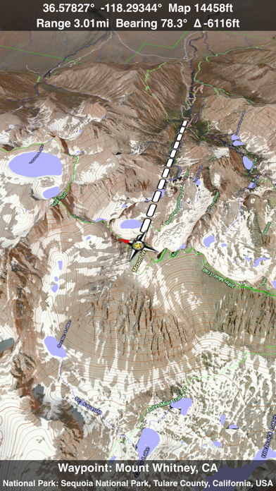
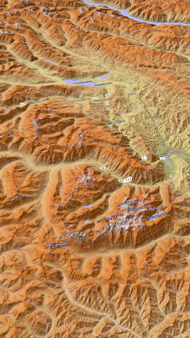
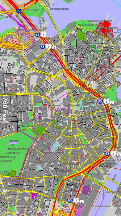
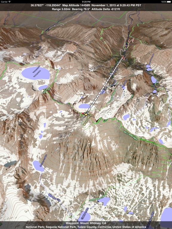
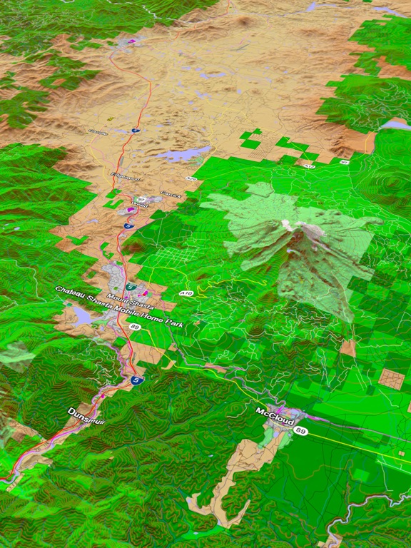
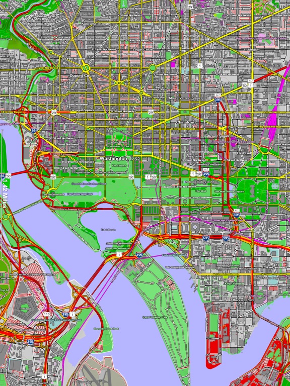
Screenshots
App Description
If you get lost or in an emergency, YOU NEED A MAP! A map that covers the entire USA, all 50 states. A map that works everywhere even without a cell phone signal. A map that shows not just roads but also terrain, streams, lakes and other landmarks.
Note: If you would prefer a small app that caches online maps covering the entire world, please see the More by GrangerFX section below and try the free Scenic Map app. Get You Need A Map if you want an offline map the entire USA as a single large download. The paid apps have built in maps with full resolution terrain.
Your iPhone has a great online map but all it takes is one wrong turn and you could find yourself lost with no cell phone signal. What is the fastest way back to the highway? Should you go forwards or back? Is there a better road just a short distance away? Is there a raging stream or an steep cliff between you and the road? YOU NEED A MAP!
You Need A Map is a huge application. It has to be. It contains every mountain, hill, stream, lake, pond, freeway, highway, local road and track. In addition it contains many buildings, trails, railways, points of interest and polygon features. It has everything you need to find out where you are and what is around you anywhere in the USA.
Most navigation apps on the iPhone and iPad must transfer all their maps from servers on the internet. This can be slow in areas with only 2G coverage or completely unavailable in wilderness areas where a map would be most useful. You Need A Map solves this problem by storing maps directly on your iPhone or iPad. This extremely fast high quality software renderer is the first of its kind for mobile devices.
If you do have a cellular or WiFi internet connect, Satellite image overlays add breathtaking detail and realism to the maps (tap preset 2 or 4 when Online Map is enabled). You can use them as you travel to see what is hidden from view at ground level. This takes moving maps to a whole new level.
Tap the arrow in the toolbar to enable GPS tracking. As you move, you will generate a track file which you can replay. You can also import GPX tracks generated in other programs and play them. While recording or playing a track, the map will be centered on the current location and rotated towards the direction of travel and rendered in 2D or 3D with silky smooth animation. When playing a track, you can speed up, slow down,