Waterkaarten: Boat Navigation

Waterkaarten: Boat Navigation Summary
Waterkaarten: Boat Navigation is a free, with in-app purchases iOS app in Maps And Navigation by Biggerworks.com. Released in Apr 2011 (15 years ago). It has 14K ratings with a 4.61★ (excellent) average. Based on AppGoblin estimates, it reaches roughly 40K monthly active users and generates around $<10K monthly revenue (100% IAP / 0% ads). Store last updated Aug 3, 2026
SDK intelligence: AppGoblin detected 4 development tools(e.g. Google), 3 ad networks,and 1 analytics: product integrated into Waterkaarten: Boat Navigation. View full SDK list →
Waterkaarten: Boat Navigation SDKs Summary
Waterkaarten: Boat Navigation was last scanned for SDKs on 2026-08-27. Below is the overview of third-party companies detected in the app. The full list of SDKs, permissions and unknowns is available here.
 Google
 Facebook
 Snap
Snap nanopb
 Alamofire
 SDWebImage
 Firebase
4.61★
Ratings: 14K
Screenshots
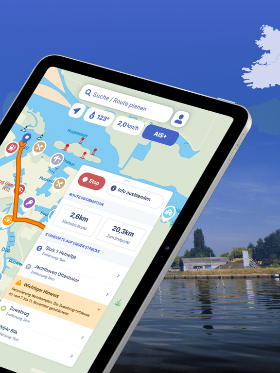

App Description
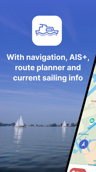
The most comprehensive app for safe and prepared boating navigation. With route planner, water maps, AIS pairing, marinas, bridges and locks, offline use and more. Try it now for free and plan your next trip!
With the Waterkaarten app (formerly ANWB Waterkaarten) you have everything you need at hand:
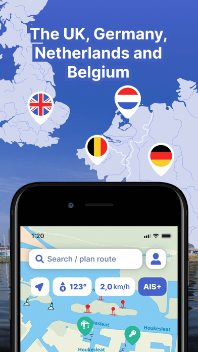
• 12 countries, 1 price - covers the United Kingdom, Ireland, Netherlands, Germany, France, Belgium, Switzerland, Norway, Denmark, Sweden, Austria and Czechia.
• Almanac info for all information you need on the water with just a few taps in the app
• Current, always up-to-date information about marinas, bridges and locks including opening times
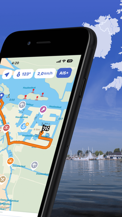
• Plan optimal routes between your starting point and destination, including the objects you encounter
• AIS+ shows all the boats near you on the water and at rest including their names and speed with just a tap
• AIS pairing allows you to connect your AIS device to the app and see at a glance where surrounding ships are located
Comprehensive and user friendly:
• Locations of more than 8,000 marinas and all details of their existing facilities
• More than 300,000 nautical objects (for example bridges, locks, markings, mooring places and more)
• Stay up-to-date with the current navigation reports and obstructions from government agencies such as Rijkswaterstaat
• Regular updates and free access to all new features
• Show or hide 60 different layers of information on the nautical maps to see exactly what you need
• Radio silence on the water? No problem! Download the corresponding charts for offline use
• Use the app on up to 3 Android or iOS devices at no extra cost
• Free Windows version included
• Reliable service: We are at your service 7 days a week - simply email us at support@waterkaarten.app
How it works:
The Waterkaarten app is free during the 7-day trial. After that you can choose from one of our paid subscriptions.
The subscription ends after credit expires. Subscriptions are not automatically renewed.
If you purchase a subscription during the free 7-day trial period, we will add your new credit to your remaining balance.
Payment methods for subscription:
• The subscription will be charged to your iTunes account
• At Apple you can use different payment methods, such as PayPal or credit card
Even more boating pleasure with a Waterkaarten account: you can create an account