Map Plus
Map Plus Summary
Map Plus is a ad-supported, with in-app purchases iOS app in Maps And Navigation by Miocool Inc.. Released in May 2011 (15 years ago). It has 881 ratings with a 4.61★ (excellent) average. Based on AppGoblin estimates, it reaches roughly 2.3K monthly active users and generates around $<10K monthly revenue (27% IAP / 73% ads). Store metadata: updated May 29, 2026, version 3.
Recent activity: 1.00 new ratings this week View trends →
Data tracking: SDKs and third-party integrations were last analyzed on May 29, 2026.
Store info: Last updated on App Store on May 29, 2026 (version 3).
SDKs, Trackers & Permissions
Map Plus was last scanned for SDKs 2026-05-29. Below is the overview of third party companies detected in the app. The full list of raw SDKs, app permissions and unknown SDKs is available here.
AppGoblin saw Map Plus uses 1 Ad Networks
App Details
App Store
Ads & App-Ads.txt
AppGoblin SDK Scans
4.61★
Ratings: 881
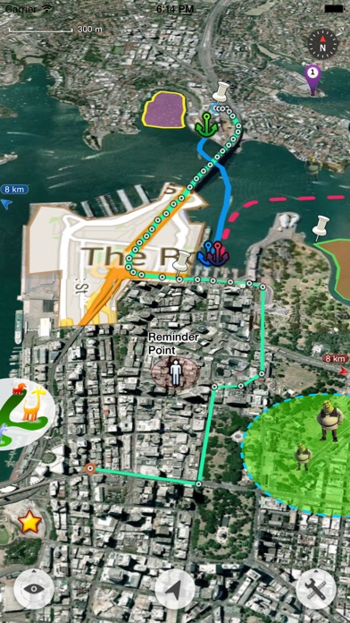
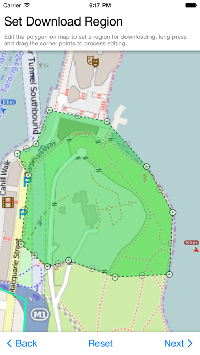
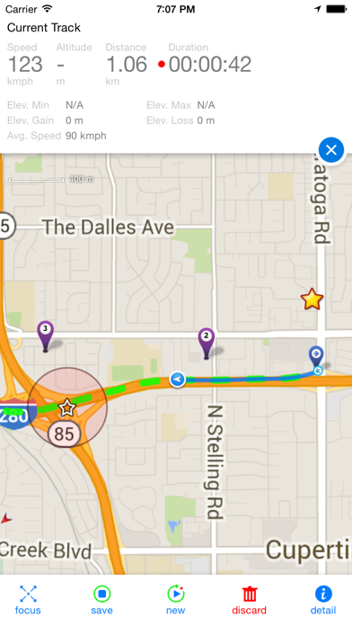
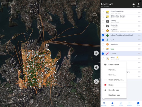
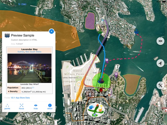
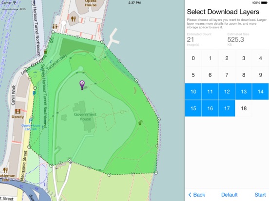
Screenshots
App Description
The most powerful and versatile tool for viewing and editing custom maps, surveying, editing or managing mass of your geography data.
● You can use Map Plus as a professional GIS tool for geographic data gathering, editing, measuring, cartography, surveying, planning, online/offline viewing and many other management.
● You can also use Map Plus to help your outdoor activities and global travels, for trip planning, offline map downloading, track/photo/video recording, and sharing memories with friends.
Besides common map features such as locating, searching, Map Plus provides many more special:
● Configuring, viewing and downloading any online maps of XYZ/WMS/WMTS patterns, or using scripts to configure more complex ones.
● Handling GIS vector file formats, such as Shape(SHP), TAB, GEOJSON, GML/GZ, AutoCAD DXF...
● Handling Common GIS file formats such as KML, KMZ, GPX, CSV, WPT.. Supported styles in KML/KMZ.
● Handling offline map file formats such as MBTiles, RMaps...
● On-map vector editing with finger drag-drop and magnetic snap.
● GPS Track Recording with auto-recovery and background mode support.
● Path Following with voice guidance for both user paths and searched direction routes.
● Displaying locations of photos and videos in your system photo albums. (no need to import)
● User data management with folders, sub-folders, layers, bulk operations, shortcuts, tags and fuzzy searches. Supports Advanced Search by using expressions with attribute conditions.
● Using Feature Class for bulk editing and managing similar (same class of) features and layers all together. Supports bulk Attributes Merge and Link Relationship Building between features of different classes.
● Conditional Style and Expression provide dynamic content rendering.
● Customizable pop-up panel for on-map picking items with HTML, JS and CSS support to make custom forms, layout and rich-formatted content.
● Handling coordinates in MGRS, UTM, and Plus Code.
● Photo Markup allows you draw markups on photo, such as arrows, texts, free-hand drawings.
● Browser Access allows you to access app's data or files from a desktop PC/Mac with a web browser wirelessly.
● Sharing or transferring data via Wi-Fi, Bluetooth, iCloud, SMS, Email, QR codes, Open-In, AirDrop or many other ways.
● Many more fantastic and free functions could not be fully descriped here,