i-Boating Spain: Marine Charts

i-Boating Spain: Marine Charts Summary
i-Boating Spain: Marine Charts is a mobile iOS app in Maps And Navigation by Bist LLC. Released in Mar 2013 (13 years ago). It has 1.00 ratings with a 5.00★ (excellent) average. Based on AppGoblin estimates, it reaches roughly 1.00 monthly active users . Store last updated Apr 15, 2023
i-Boating Spain: Marine Charts SDKs Summary
App not yet scanned for SDKs.
5★
Ratings: 1.00
Screenshots
App Description
GPS Marine Charts App offers access to charts covering Spain waters (derived from IHM ( Instituto Hidrográfico de la Marina)data).
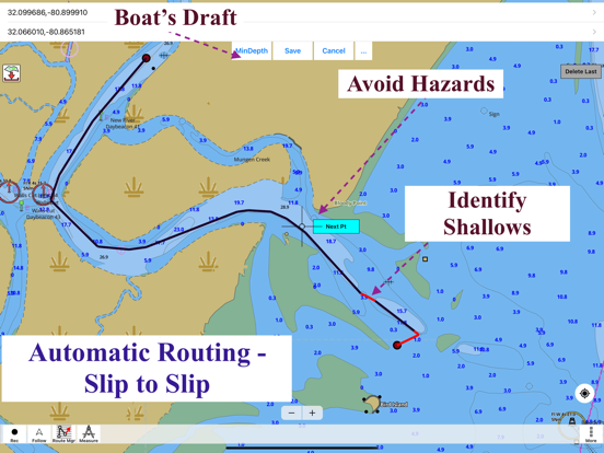
Only marine GPS app to have route assistance with Voice Prompts for marine navigation. It has route manager to create new boating routes or import existing GPX/KML routes. It supports Nautical Charts course up orientation.
Please visit
http://gpsnauticalcharts.com/main/spain/all-all-spain-charts-nautical-charts-folio.html
for complete list. If you don't find the chart for Spain , please contact us at support at gpsnauticalcharts.com.
* Voice Prompts for marine navigation (requires GPS )
-prompts when approaching a boating route marker
-Continous distance and ETA updates
-Alerts when sailing/boating off route
-Alerts when boating in wrong direction
*Route Editing/Creation
-Create routes from scratch
-Edit existing GPX/KML routes.
-Add custom description to any route point.
-Drop markers along route.
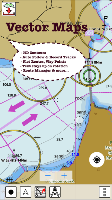
* Offline charts derived from IHM data.
-Visually draw area to download
-Textual search
-Catalog
-Charts reprojected for WGS84 datum
*Seamless chart quilting of marine charts
*Distance Bearing tool
*Create custom way points
- Using GPS
-Select point on map
-Manually enter latitude & longitude coordinates
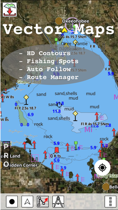
*POI layer for marine charts
- Overlay POIs
- POI list derived from the equivalent ENC and contains all categories including Buoy, Light, Harbour facility, Obstr.
*Search POIs/Way points
*Pan/Zoom/My Location
* Record Marine GPS tracks
* View tracks overlay
* Live track animation
* Track analytics/stats
* Export GPX tracks.
-Export to SDCard
-Share GPX trakcs with friends.
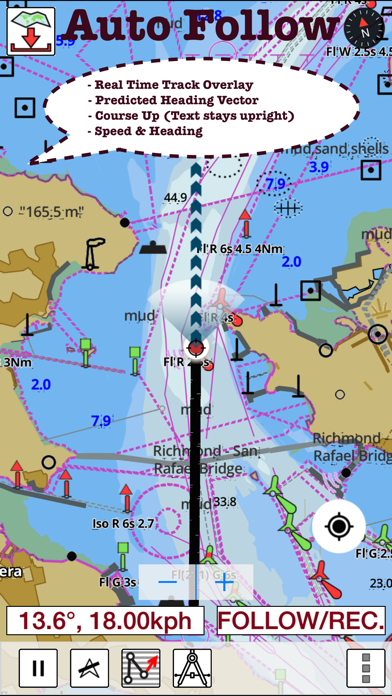
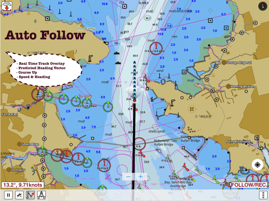
* Auto Follow Mode (Course up)
-Continuously updates boat's location on chart
- Adjustable update frequency
Sample Nautical Charts
Tanger-Mediterranee
Baie de Fontarabie or Rada de Higuer
Channels Between Ibiza and Formentera
Denia
ADRA
Ensenada de San Simon
Algeciras
Alicante
Almeria
Luarca
Pobla de Farnals
Alicante
Barcelona
Bilbao
Cartagena
Gijon
Malaga
Palma
Ria de Arousa
Valencia
Ria de Corme y Laxe
Rio Guadalquivir
Santa Uxia de Ribeira
Bahia de Cadiz
Pobra do Caraminal
San Sebastian and Pasaia (Pasajes)
Barcelona
Barcelona to Napoli including Islas Baleares Corse and Sardegna
Bay of Biscay
Garrucha
Bilbao
Port Saplaya
Ria de Camarinas
BSan Esteban de Pravia
Cabo de San Antonio to Vilanova i la Geltru