Elevation Tracker: Altitude
Elevation Tracker: Altitude Summary
Elevation Tracker: Altitude is a ad-supported, with in-app purchases iOS app in Maps And Navigation by Florian Delaunay. Released in Mar 2023 (3 years ago). It has 121 ratings with a 4.67★ (excellent) average. Based on AppGoblin estimates, it reaches roughly 333 monthly active users and generates around $<10K monthly revenue (42% IAP / 58% ads). Store metadata: updated May 16, 2026, version 2.
Data tracking: SDKs and third-party integrations were last analyzed on May 18, 2026.
Store info: Last updated on App Store on May 16, 2026 (version 2).
SDKs, Trackers & Permissions
Elevation Tracker: Altitude was last scanned for SDKs 2026-05-18. Below is the overview of third party companies detected in the app. The full list of raw SDKs, app permissions and unknown SDKs is available here.
AppGoblin saw Elevation Tracker: Altitude uses 1 Ad Networks
App Details
App Store
Ads & App-Ads.txt
AppGoblin SDK Scans
4.67★
Ratings: 121
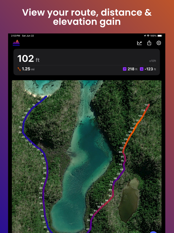
Screenshots


App Description
Track your altitude. Map your routes. Relive your adventures in 3D.
A precise GPS altimeter and complete trip recorder for hiking, biking, skiing, paragliding, or any outdoor adventure where altitude matters.
Live tracking
• Real-time altitude with vertical accuracy
• Distance, elevation gain & loss, average speed, stopwatch
• Live Activity & Dynamic Island support — keep your stats on the Lock Screen
• Background tracking, so your trip keeps recording in your pocket
On the map
• Switch between satellite, hybrid and standard map styles
• Colored polyline along your route
• Tap any point to see altitude, distance and speed at that exact spot
Your trips, saved & shared
• Trip history — every session stored locally on your device
• Import GPX files as a ghost trace to follow a route on the map
• Export your tracks as GPX (Pro)
• Snapshot and share your map view with one tap
3D flyover videos (Pro)
Turn your favorite hike into a cinematic 3D flyover video — your route, your camera path, your altitude stats burned in. Export to your Photos library and share it everywhere.
100% local, 100% private — no account, no cloud sync, no analytics. Your data stays on your device.
Works offline. Download once, explore everywhere.