Bucks County Covered Bridges
Bucks County Covered Bridges Summary
Bucks County Covered Bridges is a mobile iOS app in Education by Bucks County Covered Bridge Society. Released in May 2024 (2 years ago). It has 20 ratings with a 4.70★ (excellent) average. Based on AppGoblin estimates, it reaches roughly 55 monthly active users . Store metadata: updated Aug 21, 2025.
Recent activity: 1.00 new ratings this week View trends →
Store info: Last updated on App Store on Aug 21, 2025 .
4.7★
Ratings: 20
Screenshots


App Description
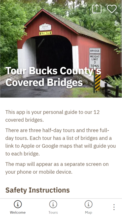
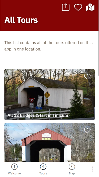
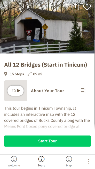
The Bucks County Covered Bridges Tour app takes you on a self-guided driving journey to 12 covered bridges, at your own pace. Bucks County is known for its beauty and history, and the county was one of the first to popularize covered bridge driving “safaris” in the late 1950s.
The app uses GPS to pinpoint directions to each bridge via the mapping software on your mobile device. Each bridge has a story page with audio about its history, and instructions about safety. The app also has locations for the public parks and museums on your drive. The app comes with pre-configured tours. But users can use its default map to customize their trip and save each bridge as a favorite for future trips.