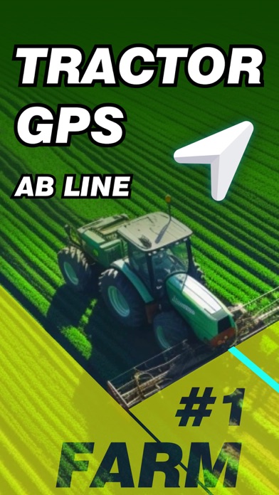
Tractor GPS Field Guidance PRO
Tractor GPS Field Guidance PRO Summary
Tractor GPS Field Guidance PRO is a ad-supported, with in-app purchases iOS app in Maps And Navigation by 启伟 廖. Released in Jun 2025 (1 year ago). It has 61 ratings with a 4.43★ (good) average. Based on AppGoblin estimates, it reaches roughly 288 monthly active users and generates around $<10K monthly revenue (46% IAP / 54% ads). Store metadata: updated Jun 1, 2026, version 29.
Recent activity: 2.00 new ratings this week View trends →
Data tracking: SDKs and third-party integrations were last analyzed on May 31, 2026.
Store info: Last updated on App Store on Jun 1, 2026 (version 29).
SDKs, Trackers & Permissions
Tractor GPS Field Guidance PRO was last scanned for SDKs 2026-05-31. Below is the overview of third party companies detected in the app. The full list of raw SDKs, app permissions and unknown SDKs is available here.
App Details
App Store
Ads & App-Ads.txt
AppGoblin SDK Scans
4.43★
Ratings: 61
Screenshots

App Description
Tractor GPS Navigation is designed for tractor and agricultural machinery operators, providing precise navigation and intelligent operation management, covering the entire agricultural process such as planting, fertilization, spraying, harvesting, etc., to help you improve operation efficiency and reduce production costs.
**Applicable scenarios:
• Straight-line seeding navigation of field crops
• Automatic profiling operation in orchards
• Terraced contour farming
• Variable fertilization and pesticide application operation
• Agricultural machinery operation area calculation
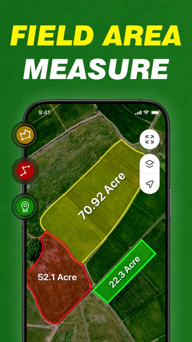
**GPS Field Area Measurement:
Use GPS to easily measure the area of any piece of land, including farms, fields, houses, yards, mountains, reservoirs, and construction sites, by selecting points on Google Maps. This highly accurate measurement is available.
Why choose this APP?
** Economical and affordable **
Compared with expensive dedicated GPS devices, this smartphone-based navigation APP is cheaper and can be used by just downloading, greatly reducing the technical threshold of precision agriculture.
** Precision operation **
Using high-precision GPS technology, automatically generate and track field operation routes to ensure consistent row spacing, reduce overlaps and omissions, and save time and fuel.
**Smart Recording**
Seamlessly connect to mainstream agricultural machinery and equipment, automatically record operation data and store it safely, which is convenient for retrospective analysis and optimized management.
- Area Calculator:
Easily convert measured land areas to acres, hectares, square meters, and other units, allowing you to easily grasp land area.
- Distance Measurement:
Quickly calculate the distance between multiple points on a map, perfect for measuring roads, bridges, parks, or planning routes with real-time tracking and accuracy.
- Mapping:
Draw shapes or mark custom boundaries directly on Google Maps to visually outline parcels, areas, or routes. Perfect for planning, mapping, or real estate visualization.
- Perimeter Measurement:
Accurately calculate the total boundary length of any selected area or parcel of land, helping you estimate land, roads, pipelines, or irrigation needs with just a few taps.
**Reduce costs**
Precisely control the application amount of seeds, fertilizers, and pesticides to avoid waste, reduce input costs,