NaturalistTripper

NaturalistTripper Summary
NaturalistTripper is a free iOS app in Travel And Local by MARTY RADD ICENOGGLE. Released in Jul 2026 (3 months ago). Store last updated Sep 29, 2026
NaturalistTripper SDKs Summary
App not yet scanned for SDKs.
0★
Ratings: 0
Screenshots



App Description
Find wildlife before you go.
NaturalistTripper turns millions of community observations into a real trip plan — for birders, botanists, herpers, mushroom hunters, and anyone who travels to see living things.
FOUR WAYS TO PLAN
• Radius — drop a point and search around it.
• Area — draw a polygon over the zone you'll actually cover.
• Route — import a GPX, KML, or GeoJSON trail (or pull from Maps directions) and see what's been seen along it.
• Species — pick a species and find where it turns up, anywhere.
SEE WHERE A SPECIES CONCENTRATES
• Heat map — the observations behind a Species search, drawn as a density surface, so a hundred reports over one valley no longer look like a hundred across a state.
• Baseline range — the species' expected range underneath, from iNaturalist's curated range maps, or its modelled distribution where none exists.
• Observation pins on or off, so the surface stays readable.
"Reported here" and "expected here" stay separate claims — the app never merges them. Heat and range are Pro.
BACKED BY REAL OBSERVATIONS
Three of the largest community science datasets in one map:
• iNaturalist — millions of verified species observations
• eBird — bird sightings from the Cornell Lab of Ornithology
• GBIF — global biodiversity records
EVERY OBSERVATION IS RANKED
Recency, verifier count, and research-grade status are weighted into a confidence score so you spend your time on sightings that actually mean something.
MULTI-STOP TRIPS
Chain your saved plans into a single itinerary with a combined species view across every stop — a road trip across hotspots in one shared list.
CONDITIONS AT A GLANCE
Sunrise, sunset, civil dusk, and moon phase for the day and place you're planning — because dawn light changes everything.
WANTLIST
Star the species you most want to see. Sightings that match your wantlist get priority in results and trigger optional alerts.
ON THE TRAIL
• Offline-friendly saved plans with prefetched photos
• Optional alerts when fresh sightings appear near a saved plan
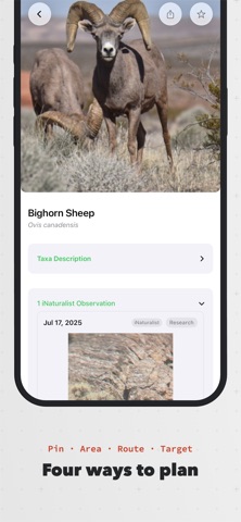
• Tap any species for an ID sheet with photos, recent sightings, and how to tell it apart
EXPORT YOUR PLANS
• GPX & KML files with species hotspot waypoints, ready for Garmin, Gaia, or your favorite trail app
• Trip Itinerary and Plan Dossier PDFs with embedded map snapshots and species photos
• Wantlist