Device Tracker for iPhone & iPad
Device Tracker for iPhone & iPad Summary
Device Tracker for iPhone & iPad is a with in-app purchases iOS app in Maps And Navigation by 荣莲 李. Released in May 2015 (10 years ago). It has 2.00 ratings with a 1.00★ (poor) average. Based on AppGoblin estimates, it reaches roughly 7.00 monthly active users and generates around $<10K monthly revenue (100% IAP / 0% ads). Store metadata: updated Oct 28, 2015, version 4.1.
Data tracking: SDKs and third-party integrations were last analyzed on Apr 19, 2026.
Store info: Last updated on App Store on Oct 28, 2015 (version 4.1).
1★
Ratings: 2.00
Screenshots


App Description
This is a software that records phone GPS information, saves such information to the local device and deeply analyzes the GPS information. The phone GPS information recorded by this software includes latitude, longitude, accuracy, height, direction, speed and time and this software provides such functions as displaying and editing the recording information. The specific functions are as follows:
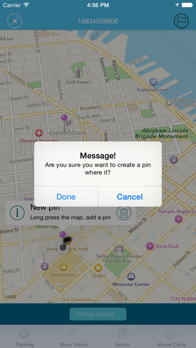
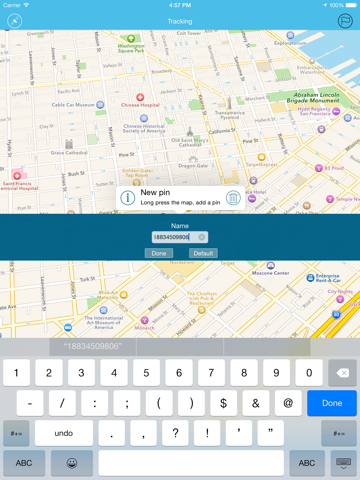
1. Record the position: record and display the phone GPS information in real time. The user can set the recording name (purchase); the user can pre-set the pin (purchase) and then the software will give a prompt if the phone is near pin;
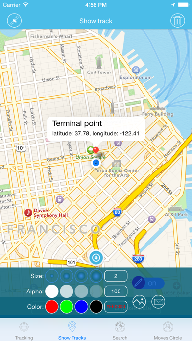
2. Display the recording: display the recorded GPS path and display the start and end information. The user can choose GPS path by name or date and delete the existing GPS path; the user can make a mark or other information on the map and save it to the photo gallery or send a screenshot by e-mail;
3. Search(purchase): the system will display the searching results according to the accuracy and provide the accurate searching of latitude, longitude, accuracy, altitude, direction, speed and time; the searching results have two display models: general map and satellite map; the user can make a mark or other information on the map and save it to the photo gallery or send a screenshot by e-mail;
4. Activity circle: the system will display the long-term staying place of phone according to different conditions; the time interval can be 30min, 1h, 2h, 4h and 8h; the moving distance can be the value provided by the system or the value input by you;