AGTEK SmartDirt

AGTEK SmartDirt Summary
AGTEK SmartDirt is a mobile Android app in Business by AGTEK Development Company Inc.. Released in Jul 2018 (7 years ago). It has about 1.9K+ installs and 5.00 ratings with a 5.00★ (excellent) average. Based on AppGoblin estimates, it reaches roughly 168 monthly active users . Store last updated Mar 4, 2026
AGTEK SmartDirt SDKs Summary
App not yet scanned for SDKs.
5★
Ratings: 5.00
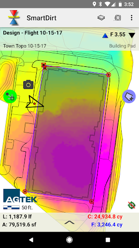
Screenshots


App Description
View and analyze your AGTEK takeoff and grid maps and plan sheets.
SmartDirt uses your AGTEK takeoff to display the geo-referenced 3D model, data lines, and plansheets on your smartphone and tablet.
Show Cut-Fill as you walk on the interactive grid map or switch to the plans as needed.
Select points to see elevations, coordinates, station & offset, point labels and approximate distance from your location.
Measure slope or distance with a tap or estimate earthwork quantities with the measure tool.
Take pictures, create notes, or create tracks that can be read by Sitework 4D or Google Earth.