GPS Camera: Tracking Earth Map
GPS Camera: Tracking Earth Map Summary
GPS Camera: Tracking Earth Map is a ad-supported Android app in Tools by AZ Team Publisher. Released in Feb 2025 (1 year ago). It has about 113.9K+ installs and 148 ratings with a 2.55★ (poor) average. Based on AppGoblin estimates, it reaches roughly 5K monthly active users and generates around $<10K monthly revenue (0% IAP / 100% ads). Store metadata: updated Aug 4, 2025.
Recent activity: 14 installs this week (62 over 4 weeks) showing below average growth , and 1.00 new ratings this week View trends →
Store info: Last updated on Google Play on Aug 4, 2025 .
2.55★
Ratings: 148
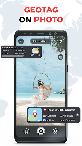
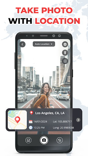
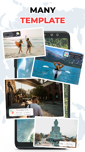
Screenshots

App Description
Live satellite map, GPS location tracker and real time earth view.
Explore the world with live satellite maps and real-time GPS location tracking.
This app lets you view the earth from a satellite view and navigate anywhere easily.
🌍 Live Satellite Maps
View the earth with real-time satellite map view.
Zoom into cities, streets and landscapes from space.
📍 GPS Location Tracker
Track your current GPS location instantly.
Find your position and navigate anywhere with accurate location data.
🛰 Satellite Earth View
Explore the planet with live earth satellite view.
Discover mountains, oceans and cities in stunning detail.
🗺 World Map Navigation
Use the live maps navigation system to explore places and directions easily.
Features
• Live satellite map view
• Real time GPS location tracker
• Earth satellite view
• World map exploration
• Accurate location navigation
Discover the world with live maps, satellite earth view and GPS tracking in one simple app.