National Public Toilet Map
National Public Toilet Map Summary
National Public Toilet Map is a mobile Android app in Health And Fitness by Human Solutions Pty Ltd. Released in Aug 2017 (8 years ago). It has about 73.1K+ installs and 466 ratings with a 4.62★ (excellent) average. Based on AppGoblin estimates, it reaches roughly 2.3K monthly active users . Store metadata: updated Nov 12, 2025.
Recent activity: 283 installs this week (1.1K over 4 weeks) showing below average growth , and 2.00 new ratings this week View trends →
Store info: Last updated on Google Play on Nov 12, 2025 .
4.62★
Ratings: 466
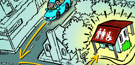
Screenshots


App Description
Find publicly available toilets in Australia.
The free official National Public Toilet Map app from the Australian Government Department of Health and Aged Care shows the location of more than 23,000 publicly available toilets in Australia and includes details of accessibility, opening hours and other features such as sharps disposal and baby change.
• Find nearby toilets or search for a place you will be visiting.
• Personalise your results by setting your preferences to return toilets that meet your needs, e.g ambulant, accessible parking, right or left hand transfer.
• See the locations on the map and/or view the toilets in the list to see details and get directions - on foot or in a car.
The National Public Toilet Map is funded by the Australian Government Department of Health as part of the National Continence Program to assist the estimated 4.8 million Australians affected by continence issues.