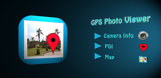
GPS Photo Viewer
GPS Photo Viewer Summary
GPS Photo Viewer is a ad-supported, with in-app purchases Android app in Travel And Local by JK.Fantasy. Released in Feb 2013 (13 years ago). It has about 1.4M+ installs and 5.2K ratings with a 4.15★ (good) average. Based on AppGoblin estimates, it reaches roughly 3.2K monthly active users and generates around $<10K monthly revenue (28% IAP / 72% ads). Store metadata: updated Oct 22, 2019, version 46.
Recent activity: 24 installs this week (70 over 4 weeks) showing steady growth , and -2 new ratings this week View trends →
Data tracking: SDKs and third-party integrations were last analyzed on May 6, 2026. The app's network data flows (API traffic to/from the app and its SDKs) were last crawled on May 10, 2026.
Store info: Last updated on Google Play on Oct 22, 2019 (version 46).
GPS Photo Viewer was last scanned for SDKs 2026-05-06. Below is the overview of third party companies detected in the app. The full list of raw SDKs, app permissions and unknown SDKs is available here.
4.15★
Ratings: 5.2K
Screenshots


App Description
Edit photo's latitude and longitude. Support batch processing.
Please watch the teach video to know how to use it. (Have description if watch video from PC or Notebook.)
When you go to travel and take a picture, I suggest you to enable camera's GPS.
After you enable camera's GPS function, then the GPS latitude and longitude will record in the captured photo.
This application is help you to check the photo have a GPS info or not. And help to launch the Google map.
If your photo (jpeg file) doesn't have a GPS info, this application also can help you to edit it. So you can know where to take this picture.
A few years later, you also know where this place is.
Memories are important thing in our life.
So remember enable GPS when take a picture!!!
Function :
1. Fast check/edit photo's GPS information.
2. Fast check photo's camera information.
3. Navigate GPS-POI in google map.
4. Launch to "google map application" with photo's GPS location.
5. When launch this application, the final selected photo will be shown. So it is quickly to index the final selected photo. It is convenient!
Purpose :
1. You can copy your GPS photos to your friends, and then they can go there if they are interest.
2. Want to know where to take the picture. (Take a GPS photo when park your car, you will find your car easily.)
3. Want to know the "focal length", "aperture", "ISO" value in the photo.
V1.1.0:
1. change MAP to google map V3.
a) support traffic/weather/panoramio layer.
b) support street view.
c) support place search.
V1.1.1:
1. Support edit photo's latitude/longitude. (Only JPEG file can edit latitude/longitude)
(a-1) Press the small photo a long time to enable photo multi-select.
(a-2) Select photos. (up to 20 photos)
(a-3) Select option button, then tap "edit poi" button to enter edit-page.
Others :
1. It could be slow at first time loading image. After decoding finish, it will be fast.
2. Remember turn on GPS funtion when you take a picture. And the photo will contail GPS info.
3. Your phone need already install "google map application" and "google play service" before run this application.
4. Tap the small picture for some time, share/delete/rename/rotate function will enable.
PS: In the Line/Facebook photo sharing, latitude and longitude info will be removed. If you want to share the latitude and longitude info, we recommend to use email/Gmail.
[Q&A] :
1. How to capture a photo that contain a GPS tag?
Ans:
1) Enable `Use wireless networks` and `Use GPS satellites` in `Location services` page.
2) Enable WIFI or 3G/4G network for fast locaton search.
3) Enable GPS function in the camera application.
【PS】
Please like us on Facebook. Give us the power of love.
https://www.facebook.com/jkfantasy