Earth Map Satellite Live
Earth Map Satellite Live Summary
Earth Map Satellite Live is a ad-supported, with in-app purchases Android app in Maps And Navigation by Live Earth Globe & Tools Studio. Released in Aug 2020 (5 years ago). It has about 2.7M+ installs and 4.1K ratings with a 2.78★ (poor) average. Based on AppGoblin estimates, it reaches roughly 68.8K monthly active users and generates around $10K+ monthly revenue (55% IAP / 45% ads). Store metadata: updated Mar 9, 2026, version 105.
Recent activity: 31.7K installs this week (48.4K over 4 weeks) showing exceptional growth , and 4.00 new ratings this week View trends →
Data tracking: SDKs and third-party integrations were last analyzed on Mar 31, 2026. The app's network data flows (API traffic to/from the app and its SDKs) were last crawled on Feb 15, 2026.
Store info: Last updated on Google Play on Mar 9, 2026 (version 105).
Earth Map Satellite Live was last scanned for SDKs 2026-03-31. Below is the overview of third party companies detected in the app. The full list of raw SDKs, app permissions and unknown SDKs is available here.
2.78★
Ratings: 4.1K
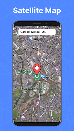
Screenshots


App Description
Explore globally with Live Earth Map using satellite map and GPS satellites
live earth map is a simple and powerful app that lets you explore the world with high quality satellite imagery and real time Earth views. With clear visuals, quick location access, and easy controls, you can discover places around the globe anytime, Travel virtually anywhere with accurate live satellite view and See the world from above with our interactive satellite map. Whether you are checking a location, exploring from home, studying geography, or viewing nearby areas, the earth map helps you see the world with sharp and detailed satellite images and Journey across continents through a high definition satellite map.
Using live earth map, you can explore global landscapes, enjoy amazing views, and move smoothly across cities, mountains, oceans, and remote areas. Gps satellite map and live satellite view layers give you updated and realistic visuals of Earth. With accurate gps satellite map, the app provides fast and reliable real-time results on every Live Map.
Understanding Live Earth Map as a feature
The Live earth map feature gives you a real-time look at the world with high quality satellite images and detailed map layers. You can zoom, rotate, and move across any location easily. View cities, roads, natural places, landmarks and aerial live satellite view of your favourite destinations.
This feature is perfect for:
🔸Viewing any place on Earth
🔸Exploring different countries
🔸Checking landscapes and terrain
🔸Street View city exploration
🔸Enjoying clear and realistic Earth views
Available Map Styles
🔹Live Satellite View
🔹Normal View
🔹Night View
🔹Traffic View
🔹Terrain View
Enjoy clear, realistic Live Satellite View of streets and landmarks! Discover every city, mountain, and ocean with stunning gps satellite map and real time views. Whether you’re navigating streets, studying landscapes, or simply satisfying your curiosity, the journey is just a tap away. Download Live Earth Map now and see the world from a whole new perspective!