NRDS Mapping V2
NRDS Mapping V2 Summary
NRDS Mapping V2 is a mobile Android app in Maps And Navigation by Natural Resource Data Solutions Inc. Released in May 2025 (1 year ago). It has about 78+ installs Based on AppGoblin estimates, it reaches roughly 8.00 monthly active users . Store metadata: updated Apr 19, 2026.
Recent activity: 1.00 installs this week (6.00 over 4 weeks) showing below average growth View trends →
Store info: Last updated on Google Play on Apr 19, 2026 .
0★
Ratings: 0
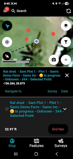
Screenshots


App Description
Mapping & Data Collection
Mapping and data collection has never been more easy, accurate, and efficient. Geotag photos, record tracks, save waypoints, trace lines, draw polygons, and so much more with the NRDS app. Utilizing your device’s GPS, this mapping and data collection tool works both on and offline. Working in conservation or agriculture? Doing some surveying or hiking? This dependable app is designed for you. Tutorials are available at https://help.nrds.io/nrds-mobile-mapping-app
ENHANCE YOUR NRDS CAPABILITIES
With credentials you can sync data to the nrds.io web platform and access features including but not limited to:
• Develop comprehensive reports
• Track work hours
• Share data between partners
• Bulk data uploads and exports
• Design downloadable surveys
• Organize your GIS features
• Manage users, teams, and contact lists
• Browse your photo gallery
• Build projections