GPS Field Measure - GLandGo
GPS Field Measure - GLandGo Summary
GPS Field Measure - GLandGo is a with in-app purchases Android app in Tools by 4Digsoft. Released in Oct 2024 (1 year ago). It has about 892.3K+ installs and 8K ratings with a 4.17★ (good) average. Based on AppGoblin estimates, it reaches roughly 107K monthly active users and generates around $10K+ monthly revenue (100% IAP / 0% ads). Store metadata: updated Mar 28, 2026, version 21.
Recent activity: 46.3K installs this week (107.8K over 4 weeks) showing exceptional growth , and 163 new ratings this week View trends →
Data tracking: SDKs and third-party integrations were last analyzed on Mar 15, 2026. The app's network data flows (API traffic to/from the app and its SDKs) were last crawled on Dec 24, 2025.
Store info: Last updated on Google Play on Mar 28, 2026 (version 21).
GPS Field Measure - GLandGo was last scanned for SDKs 2026-03-15. Below is the overview of third party companies detected in the app. The full list of raw SDKs, app permissions and unknown SDKs is available here.
4.17★
Ratings: 8K
Screenshots


App Description
Measure area, distance and perimeter , GPS area measurement & land survey tool
Measure land area, distance, and perimeter with precision using your device's GPS.
GLandGo is the smart, reliable, and professional GPS Area Measurement app designed for accurate land surveying. Whether you’re measuring fields, tracking distances, or managing land data, GLandGo gives you full control — right from your mobile device.
Pro-Grade GPS Integration: Now supports external Bluetooth GPS devices to bypass smartphone limitations and achieve high-precision surveying.
✅Major Update: Collaboration Mode Now you can create projects, add multiple accounts, and work together with your team. All members’ measurement records are synced in real time, and different project roles come with different permissions – making teamwork smooth and efficient.
🌍 Key Features:
1. GPS Area Measurement
Measure land by walking the perimeter or placing points manually on the map.
Save results with names, notes, photos, and categories.
Multiple units supported: hectares, acres, square meters, etc.
2. Distance Measurement
Track path lengths and calculate straight-line or multi-point distances.
Supports GPS tracking and manual distance input.
3. Manual Coordinate Input
NEW: Precisely add points by entering latitude and longitude.
Useful for remote mapping and GPS data referencing.
4. Location Marking & Organization
Save and categorize important locations for future reference.
5. GPS Tools & Navigation
Built-in compass for field alignment.
Real-time GPS tracking, direction, and satellite positioning.
6. Import & Export Support
Import: SHP, GeoJSON, KML, KMZ
Export: SHP, KML, JPG, PDF, GeoJSON, CSV
Share measurement results via custom web links.
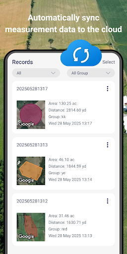
7. GLandGo Cloud
Protect your data with built-in cloud/local backup options.
8. Professional Mapping Support:
Coordinate formats: DMS, UTM, MGRS, Plus Code, Geohash
Map history tracking
Customizable map types and themes
9. Collaboration – add multiple users to projects, assign roles, and collaborate with real-time data sync
10. Cross-Platform Sync - Log in with your account and seamlessly access your data across both Android and iOS devices. Whether you switch phones or use multiple platforms, your data stays synchronized in the cloud.
11. Circle Area Measurement – Quickly measure circular plots of land by setting the center and radius.
12. Manual Coordinate Entry – Add precise location points by entering coordinates manually.
13.Added support for WMS map layers.
New ! Add Image Layers for Smarter Field Mapping
Enhance your GPS Area Measure and Field Area Measure experience with the new Image Layer feature. Now you can import and overlay images directly on the map — perfect for comparing drone photos, survey maps, or satellite shots.
This update makes area measurement and distance measure more visual and accurate, helping you manage land, farms, or projects with ease.
Whether you use it for Measure Map Pro, land planning, or professional area app tasks, you’ll enjoy a smarter, clearer gps measure and area measure workflow.
👥 Perfect For:
Farmers & Agronomists
Land Surveyors
Real Estate Professionals
Engineers & Architects
Environmental Planners
Outdoor Enthusiasts & Hikers
GIS Survery
GLandGo is your GPS Fields Area Measure Map, Map Area Calculator, Field Area Measure, and GPS Land Measurement & Survey solution – smart, simple, and accurate.
Download GLandGo – GPS Area Measurement today and experience the easiest and most powerful way to measure land and distances anywhere.