UAV-ASIGN
UAV-ASIGN Summary
UAV-ASIGN is a mobile Android app in Photo And Video by AnsuR Technologies AS. Released in Oct 2017 (8 years ago). It has about 1.3K+ installs Based on AppGoblin estimates, it reaches roughly 68 monthly active users . Store metadata: updated Jul 15, 2025.
Recent activity: 48 installs this week (135 over 4 weeks) showing exceptional growth View trends →
Store info: Last updated on Google Play on Jul 15, 2025 .
0★
Ratings: 0
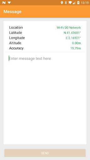
Screenshots


App Description
Interactively communicate critical visual content from UAVs to your ASIGN server
UAV-ASIGN is an ASIGN application that specifically targets operations with Unmanned Aerial Vehicles (UAV), or drones, used to interactively communicate visual content to an ASIGN server in a remote location.
• • •
Feedback from DJI pilots is always highly appreciated! If you are interested in using UAV-ASIGN 1.0 please contact us for a user account at: contact@ansur.no
• • •
UAV-ASIGN targets use with UAV pilots who wish to share photos taken from a UAV while UAV is in flight. It works specifically with many DJI drones, such as the Inspire or Phantom models, by controlling the camera of the drone to take photos, downloading the photo and sending an interactive preview to a remote server where authorized people can view it in real time and pull full precision optical details, seconds after the photo was taken.
UAV-ASIGN can also be used as a flying camera, attached to a capable UAV, to take photos at desired intervals in selected geo-zones, and share them with a remote viewer via a web browser.
UAV-ASIGN can also use the phone camera manually on the ground to share information of the surrounding areas prior to flight – or in other situations.
All observations are geo-tagged and can be seen in maps and integrated with professional GIS systems.
**
ASIGN is about communication of visual content in terms of photos and video under critical conditions. Applying a two-step interactive approach ASIGN can save as much as 99% of the bandwidth otherwise required, while still providing operationally relevant content in full precision. Application areas are crisis, emergency and disaster management, UN-operations, law enforcement, safety, security and surveillance, interactive real-time operations and other situations where visual data is used as a source of information, as opposed to entertainment or art.
Rapid communication of high precision visual content is a real challenge when network capacity is limited. ASIGN is certified for satellite communications operations.
ASIGN requires a user account with an ASIGN server. Contact the developer or consult the product website for further information either on access to a cloud server or obtaining your own server.
In addition to running as smartphone applications, ASIGN is also available for personal computers and embedded Linux platforms. It has been developed for mi