US Army Map Symbols
US Army Map Symbols Summary
US Army Map Symbols is a ad-supported Android app in Maps And Navigation by Anton Yuriev. Released in Feb 2017 (9 years ago). It has about 5.3K+ installs and 19 ratings . Based on AppGoblin estimates, it reaches roughly 4.00 monthly active users and generates around $<10K monthly revenue (0% IAP / 100% ads). Store metadata: updated Feb 14, 2017.
Store info: Last updated on Google Play on Feb 14, 2017 .
0★
Ratings: 19
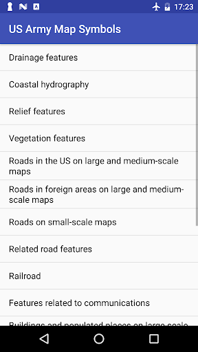
Screenshots


App Description
Topographic symbols used for interpretation of US military maps
Application describes topographic symbols used for interpretation of US military maps.
Symbols given in this application are in general agreement with those employed by the British Army, the Canadian Army, the Aeronautical Chart and Information Service of the US Air Force, the Hydrographic Office of the US Navy, the US Coast and Geodetic Survey, the US Forest Service, the US Geological Servey and others.
Topographic symbols are arranged by categories, such as drainage features, relief, roads etc.