NY State Parks Explorer

NY State Parks Explorer Summary
NY State Parks Explorer is a free iOS app in Travel And Local by New York State Office of Information Technology Services. Released in Jun 2020 (6 years ago). It has 13 ratings with a 3.62★ (average) average. Based on AppGoblin estimates, it reaches roughly 275 monthly active users . Store last updated Jul 20, 2026
NY State Parks Explorer SDKs Summary
App not yet scanned for SDKs.
3.62★
Ratings: 13
Screenshots




App Description
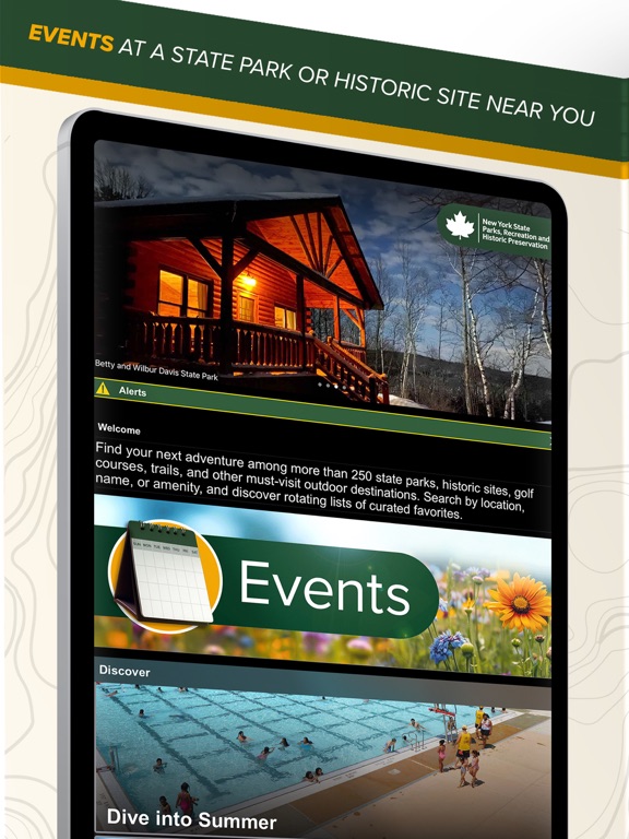
From the oceanfront shores of Long Island to the mighty Niagara Falls, more than 250 parks, historic sites, trails, golf courses, boat launches, and campgrounds are just a few taps away. With the New York State Parks Explorer App, you can plan getaways, explore favorite regions and discover new adventures and cultural gems with easy access to enhanced trail mapping, must-sees, things to know before you go, apparel and merchandise, and regularly updated information including special events and alerts. Discover your next adventure, download the NY State Explorer app today.
Key highlights and recent enhancements include:
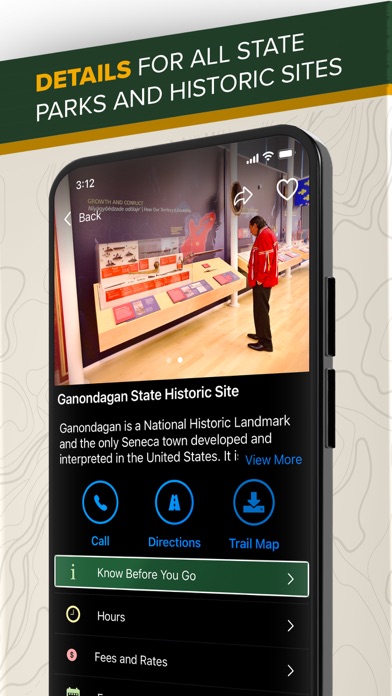
• Users can discover new must-see locations with rotating curated content, and will enjoy quick access to park information, including directions, hours, fees and rates, trail maps, and helpful know-before-you-go details;
• Empire Pass holders have the option to digitally add their pass to the wallet within the NYS Explorer app.
• Expansion of the search function so that visitors can search for parks and historic sites from multiple regions at a time.
• Link directly to online camping reservations to book a stay, and
• The option to favorite select properties to receive important updates and real-time alerts.
Interactive map elements now provide visitors:
• Easier wayfinding: When the user's mobile device's location services are turned "on", visitors can easily follow along with where they are on the map;
• The ability to zoom in on and around each map to learn more about the facility;
• Information about trails, park features, and amenities by simply tapping on a trail or icon;
• Trail segment distance; and
• The ability to change base layers in live maps from satellite view, simple street view, or topography.